

Bike Tripping in the Mid-Atlantic
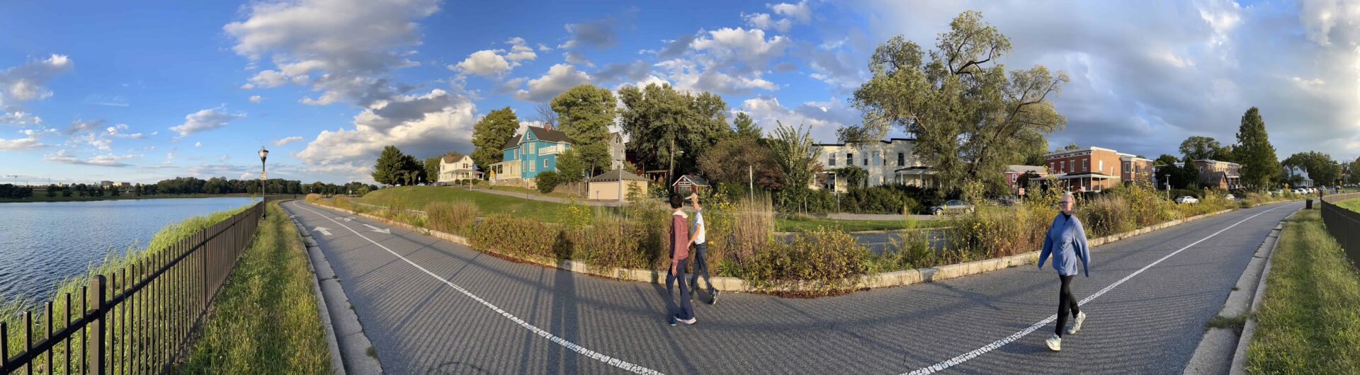
These are some of the big opportunities to get out from behind the wheel, hang on to your handlebars, put on your helmet and get some needed exercise after a long road trip. Seeing the country by bike is great for several reasons; you’re not spending for gas or adding to greenhouse emissions, you take in so much more at a slower speed, without being enveloped in your car. You can smell what’s going on, too. I find that connecting to people is much easier, too. “Where did you ride from?” is usually what I get asked right up front. People know you’ve had a much more interesting experience having ridden your bike than having driven a car. They’re inquisitive because you’re different. I mean yikes! Just look at those bike shorts, right? Most of these trails allow you to get away from vehicular traffic, sometimes into some wild and beautiful areas. Most of the trails are part of, or connected to the East Coast Greenway, a 30 year old initiative to connect the entire eastern seaboard by bike trail. https://www.greenway.org/ There’s also US Bicycle Route 1, overseen by AASHTO, the American Association of State Highway & Transportation Officials, which makes things pretty confusing. For this trip, I’ll try to point out the connections to the Greenway and leave Bicycle Route 1 for another day.
Itinerary
| The Old Eastern Marsh Trail trailhead in Salisbury, MA 8 Friedenfels St, Salisbury, MA 01952, USA | |
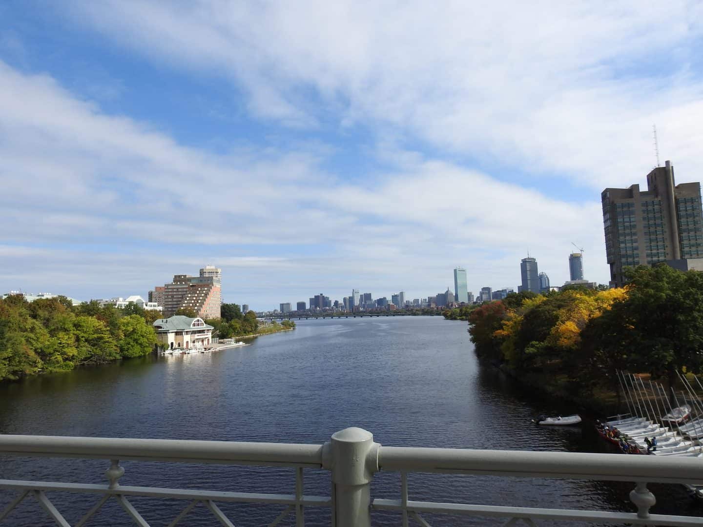
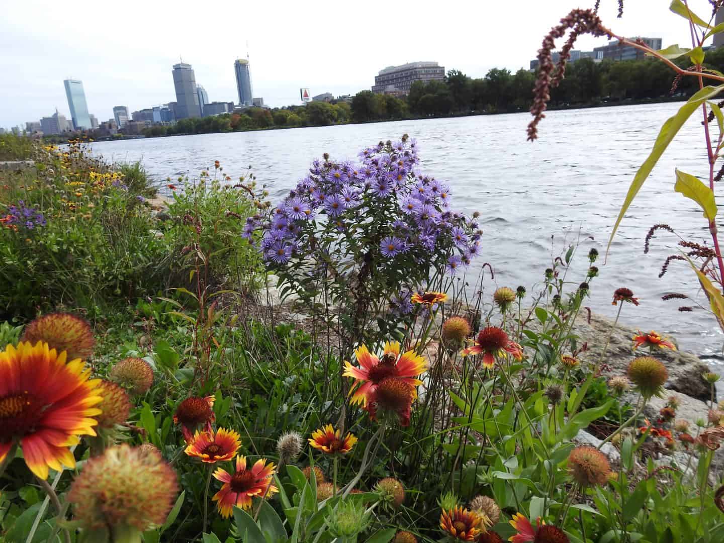
| Iconic Bike Path in Boston | |
| The Salisbury to Boston Route | |
| Neponset River Greenway | |
| Washington Secondary Trail | |
| William C. O’Neill Trail | |
| Farmington Canal Heritage Trail | |
| The Pequonnock River Trail | |
| Mosholu-Pelham Greenway | |
| The Schuylkill River Trail | |
| The Delaware and Raritan Canal in Central New Jersey | |
| Herring Run Park, great biking and hiking in Baltimore, MD | |
| Two Popular Bike Trails | |
| Delaware and Raritan Canal Trail | |
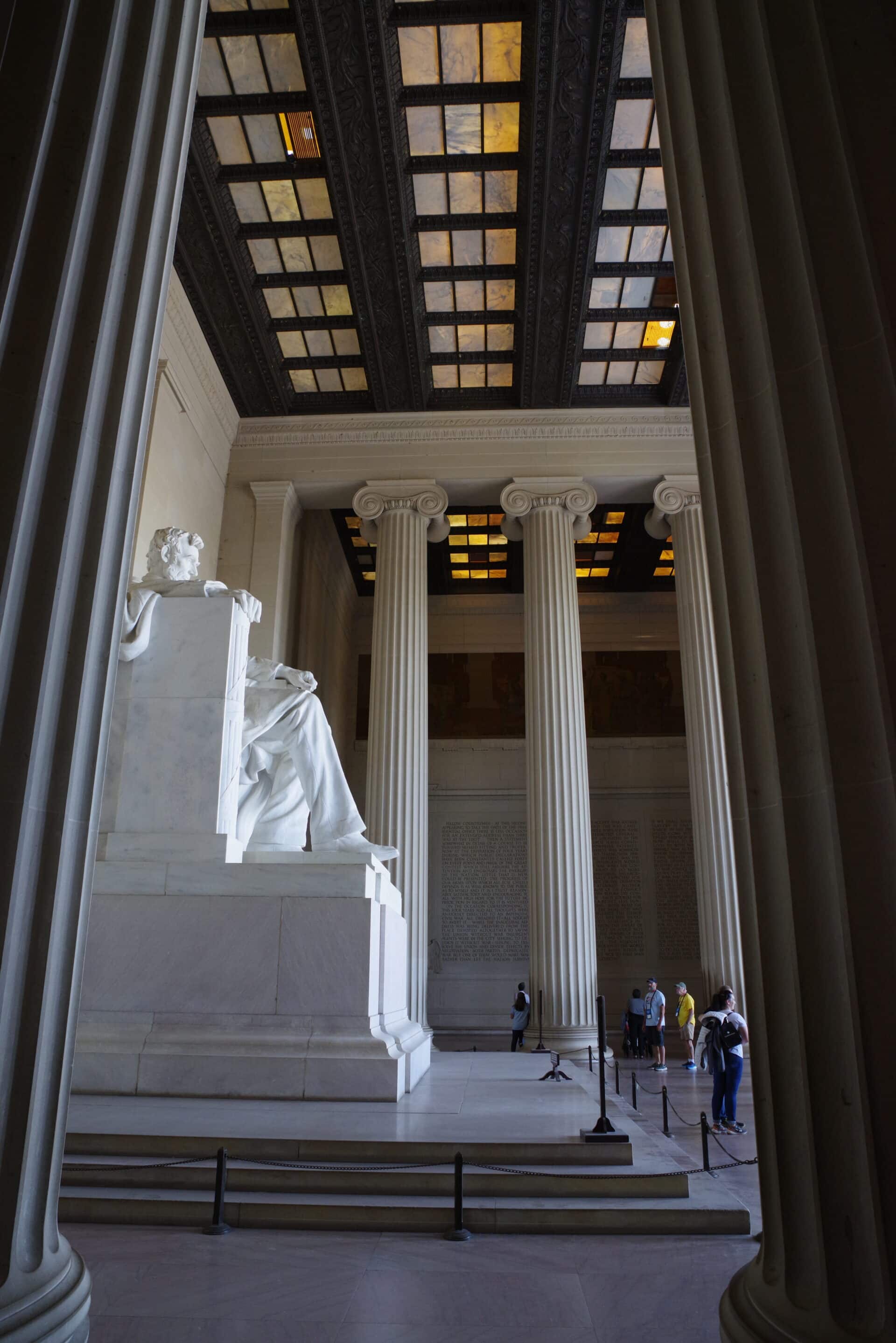
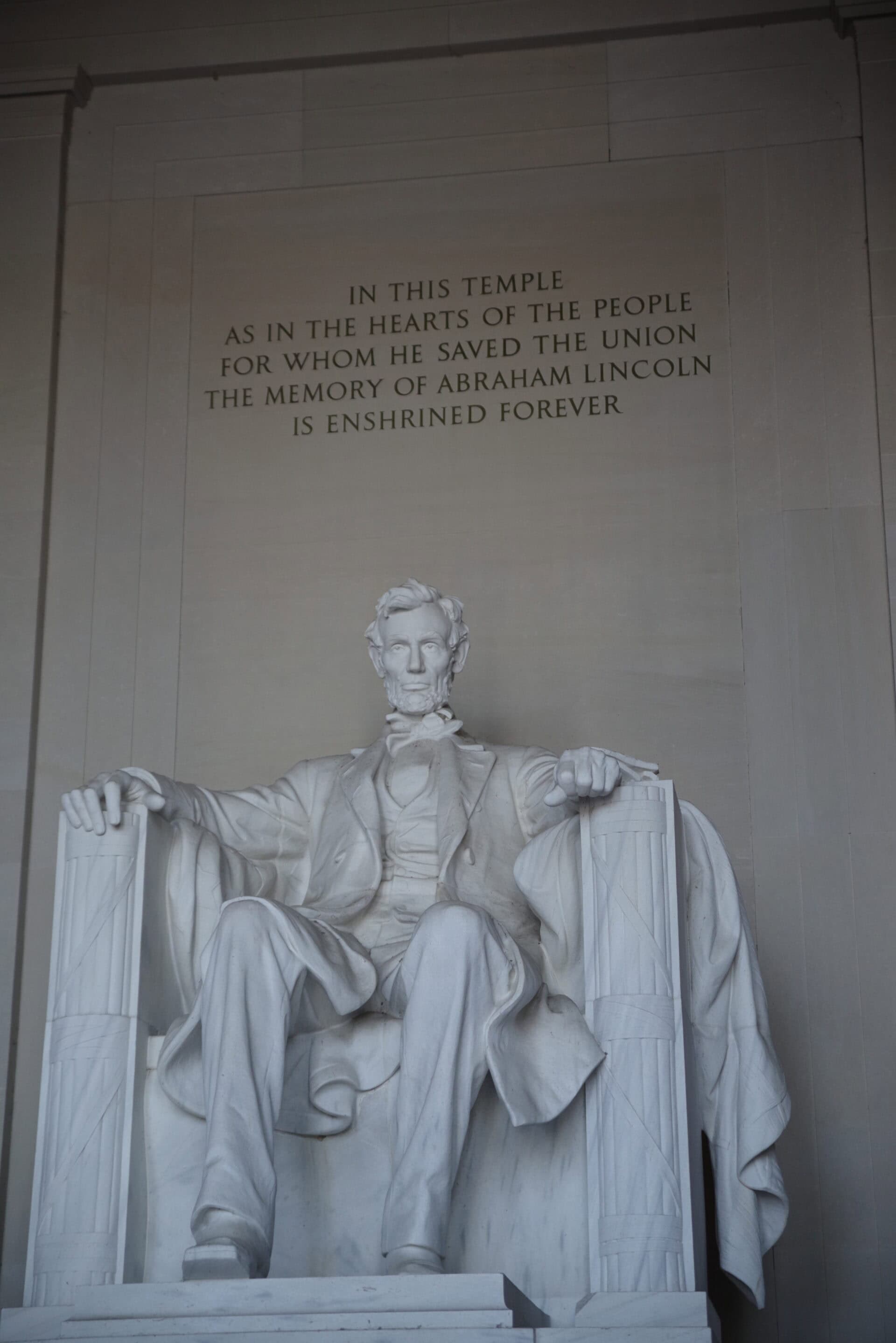
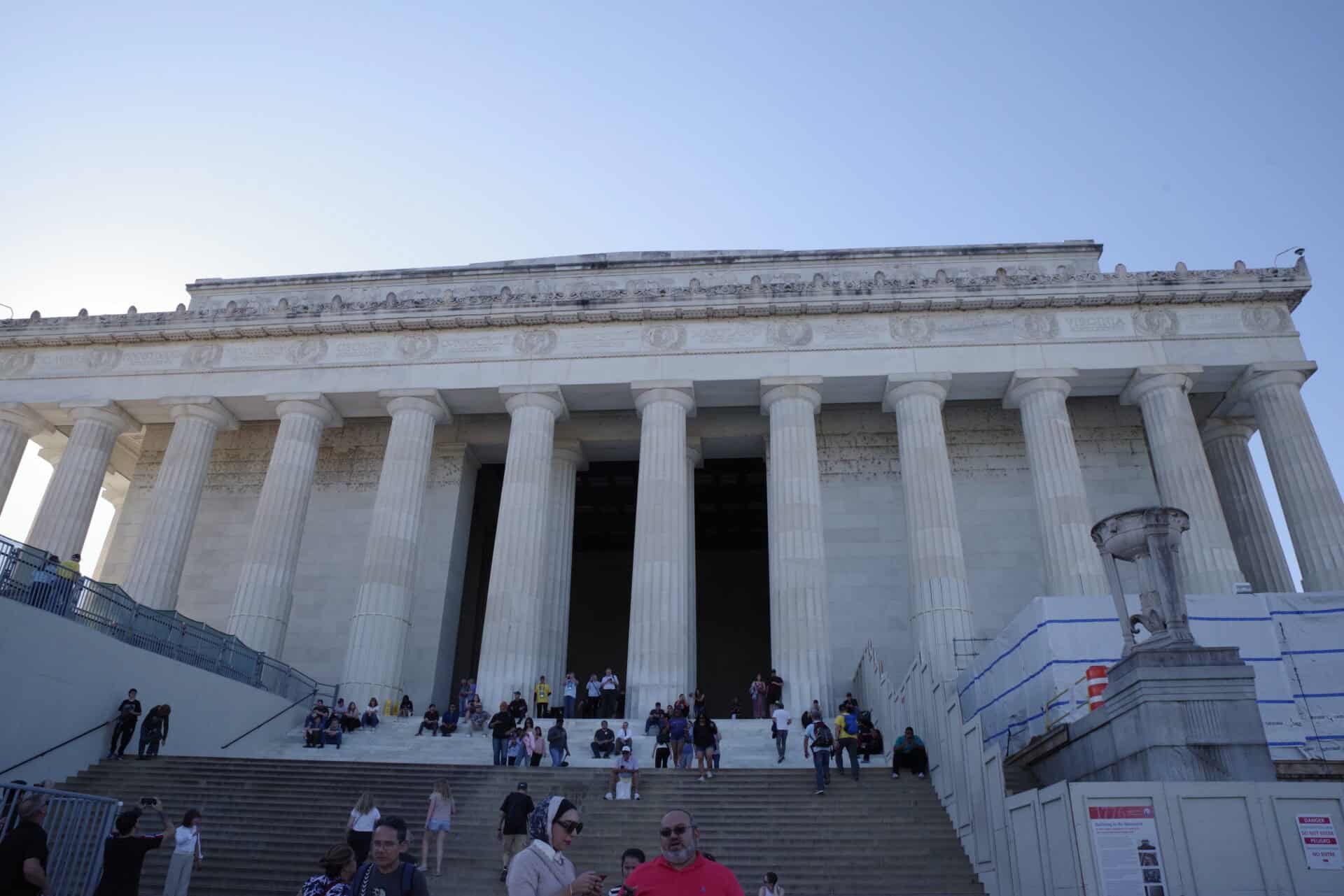
| Lincoln Memorial 2 Lincoln Memorial Cir NW, Washington, DC 20002, USA |
The Old Eastern Marsh Trail trailhead in Salisbury, MA
8 Friedenfels St, Salisbury, MA 01952, USA
Iconic Bike Path in Boston
The Salisbury to Boston Route
The Salisbury to Boston route, dubbed “Border to Boston” Trail follows an 1850’s railroad right of way. The trail crosses Route 1 at Topsfield, where there’s a parking area. From there, you can ride North to Boxford or South to West Peabody, a total of about 11 miles of crushed stone and dirt off-road trail. https://www.traillink.com/trail/border-to-boston-trail/
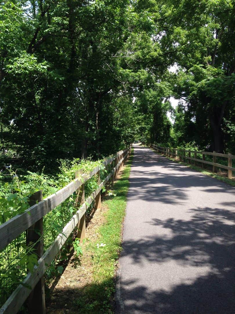
Neponset River Greenway
The entrance to the western end of Neponset River Greenway is a close drive from old Route 1 (Washington St) in Readeville. It runs northeast from there, almost to the Dorchester Bay Basin, about 8 miles to the present-day Route 1 (I-93 & the Big Dig). There’s a caution in the reviews about riding the trail during prime-time, when pedestrians with dogs and strollers are most prevalent. Find your space & choose your pace! I recall walking one of my sons in a stroller around the Dorchester Basin on a chilly day, when a passer by gave me his encouragement to me “YEAH, MAN! Keep on pushing, ‘cause some day he’ll be pushing you” That kid is now 26. Maybe the place will have good karma for you, too, so check it out. https://www.traillink.com/trail/neponset-river-greenway/
Washington Secondary Trail
The oddly named “Washington Secondary Trail” runs parallel to the Pawtuxet River for much of its 17 mile length. Some of the River crossings are on repurposed railroad bridges. Cranston, RI is your closest Route One jumping off point, if you swing west on Potter’s Ave to find the eastern end of the trail, there’s a parking area on Depot Avenue. The trail runs West-southwest, almost to the Connecticut border. https://www.traillink.com/trail-maps/washington-secondary-bike-path/
William C. O’Neill Trail
In Wakefield, RI, the William C. O’Neill Trail follows the right-of-way of the defunct Narraganset Pier Railroad for just over 7 miles through residential neighborhoods. It is a wide, well-maintained path named after the late RI Senator who championed the project. Five years before Route 1 was created, rail busses replaced the train cars to transport vacation-goers to the beach. You can pick up the trail within view of Route 1 along Kingstown Road. https://www.traillink.com/trail/william-c-oneill-bike-path/
Farmington Canal Heritage Trail
If you’re in New Haven with a bike, consider riding the Farmington Canal Heritage Trail, another part of the Rails-to Trails East Coast Greenway. A former freight canal built in the 1820s and 1830s, the trail follows the right of way which was converted to the New Haven and Northampton Railroad in 1848. It was commonly known as the “Canal Line”. The Canal Heritage Trail is in the midst of a “fill the gaps” campaign to assist local governments in completing the last few segments of the paved trail all the way up to Northampton, MA, 81 miles away. https://fchtrail.org/
The Pequonnock River Trail
The Pequonnock River Trail is another opportunity to explore south-central Connecticut. There’s a short section in downtown Bridgeport that terminates at Route One. The rest of the 13.6 mile trail picks up along Bunnells Pond at Connecticut’s Beardsley Zoo, where there’s parking. If you’re willing to brave a few of the short on-road segments, you can get almost as far as the Housatonic River and I-84 in Newtown
Mosholu-Pelham Greenway
When on Route One (Boston Road) in the East Bronx and Allerton, be on the lookout for the Mosholu-Pelham Greenway at the intersection of the Pelham Parkway. From there, on the off-road paved bike trail, you can go north briefly along the Bronx River Parkway, before joining the Mosholu Parkway, which will take you to Van Courtland Park. There are plenty of side trails in Van Courtland Park, as well. Or, you could head for the beach at Pelham Bay Park along the Pelham Parkway. The total length of the trail is just over 10 miles.
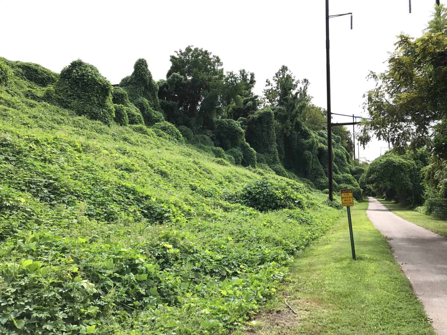
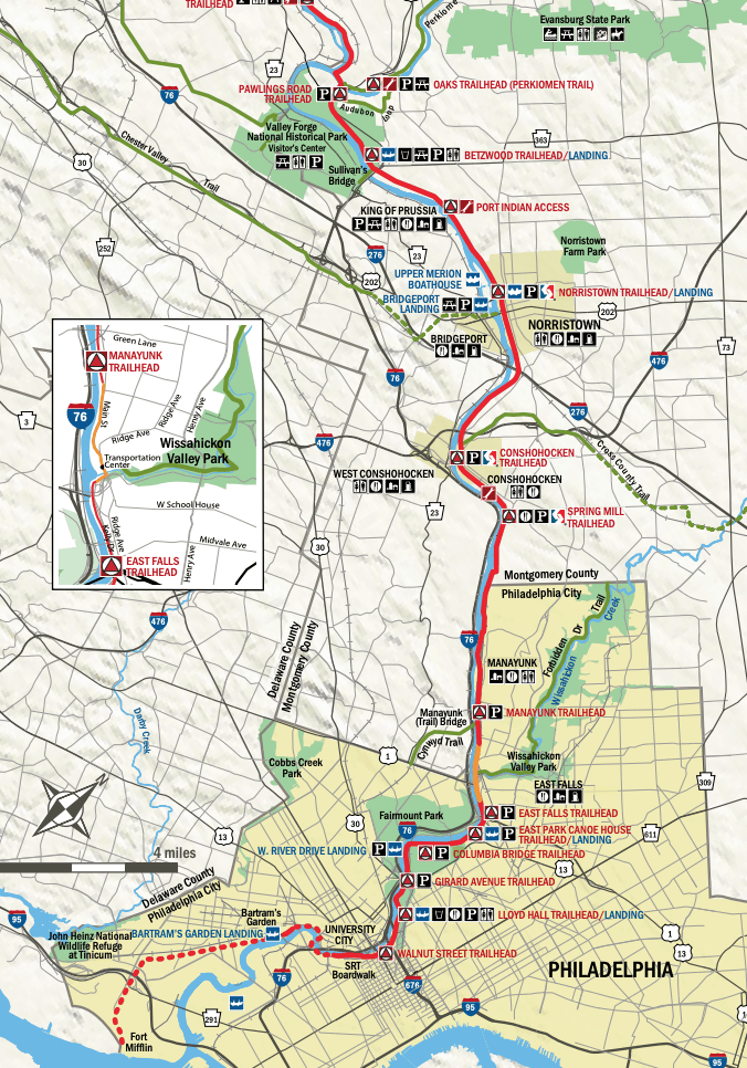
The Schuylkill River Trail
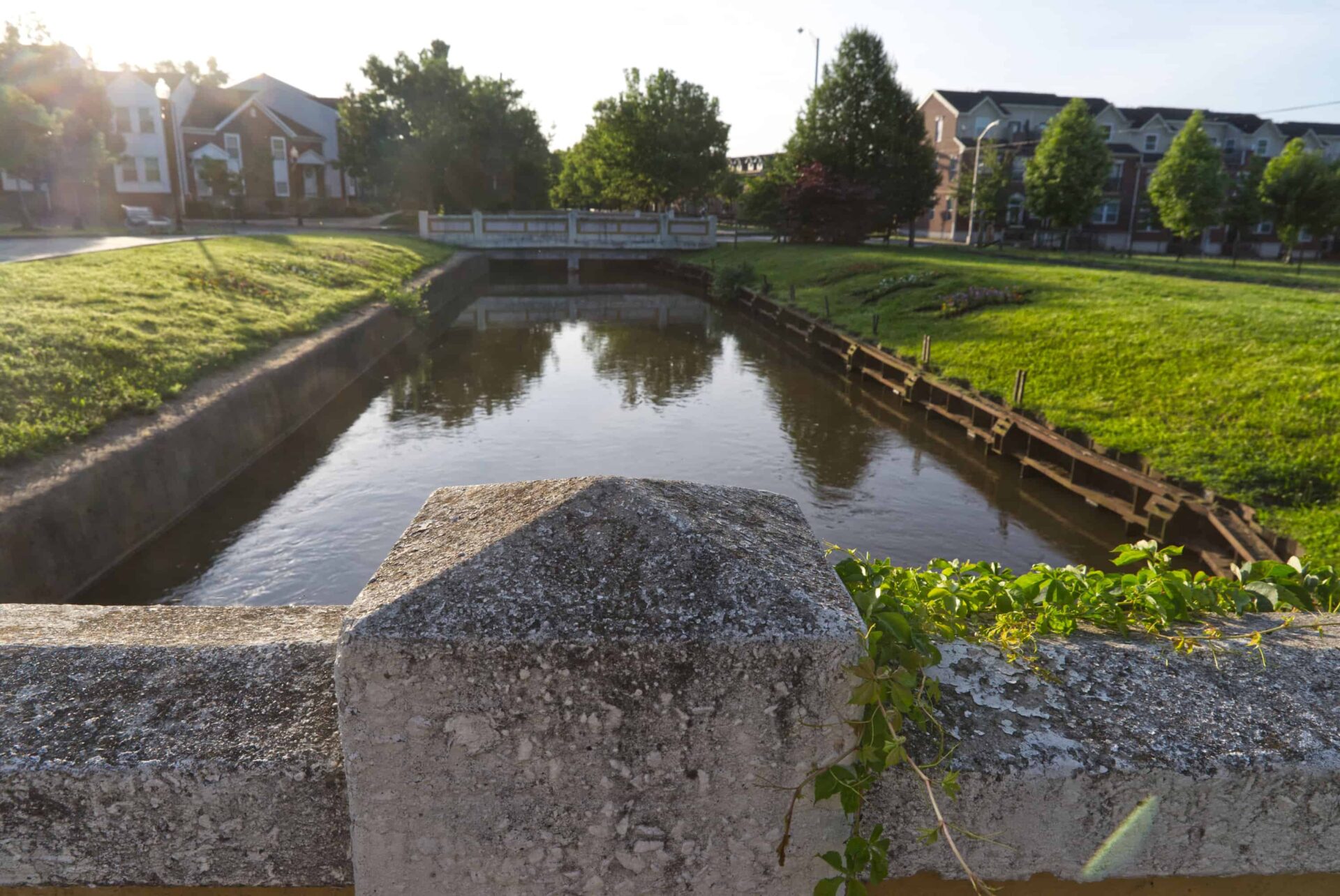
The Delaware and Raritan Canal in Central New Jersey
Herring Run Park, great biking and hiking in Baltimore, MD

Two Popular Bike Trails
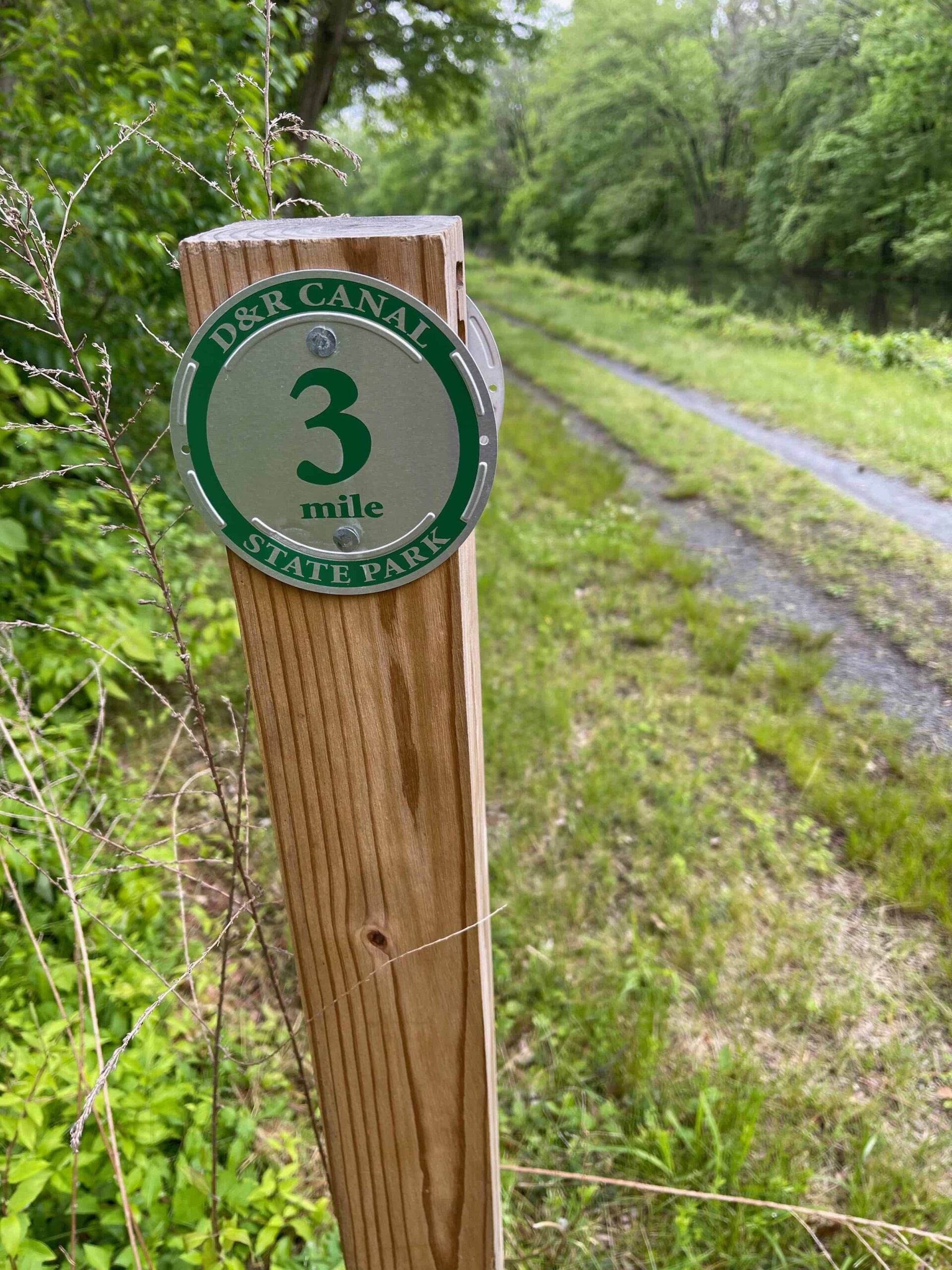
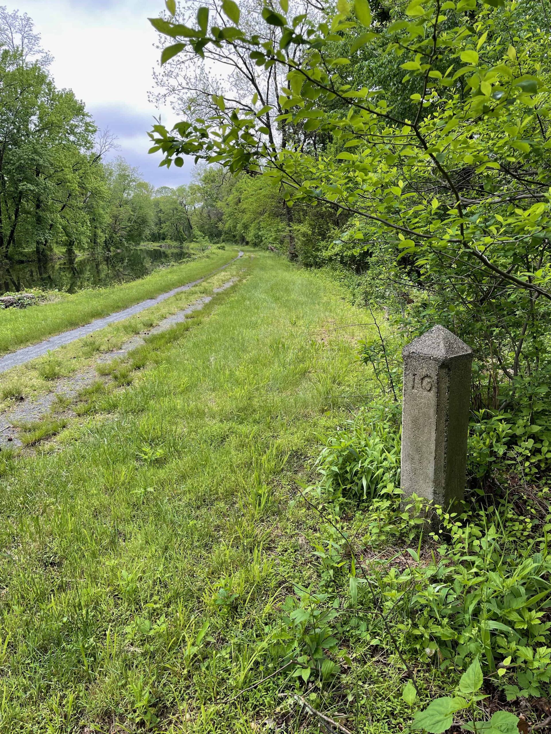
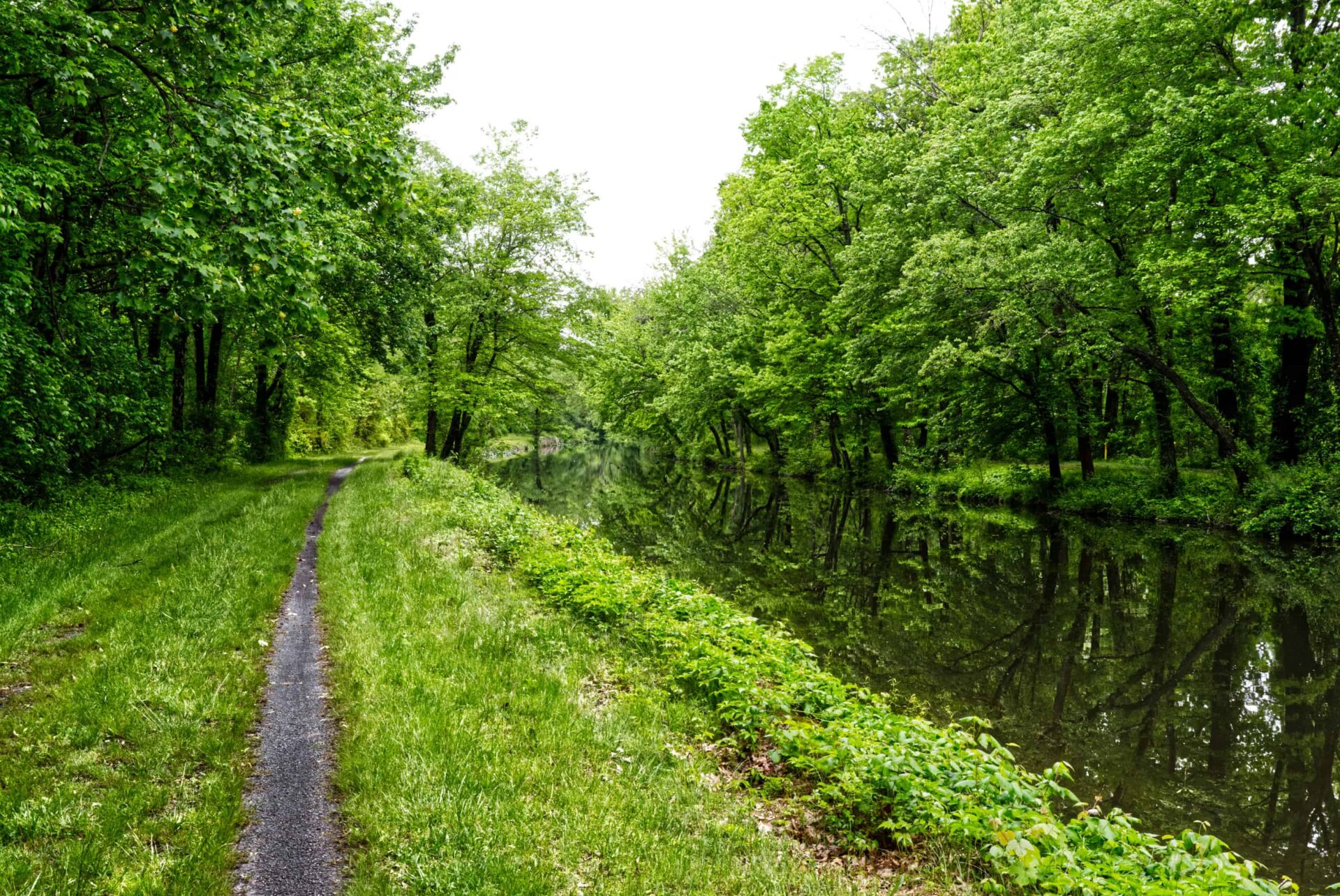
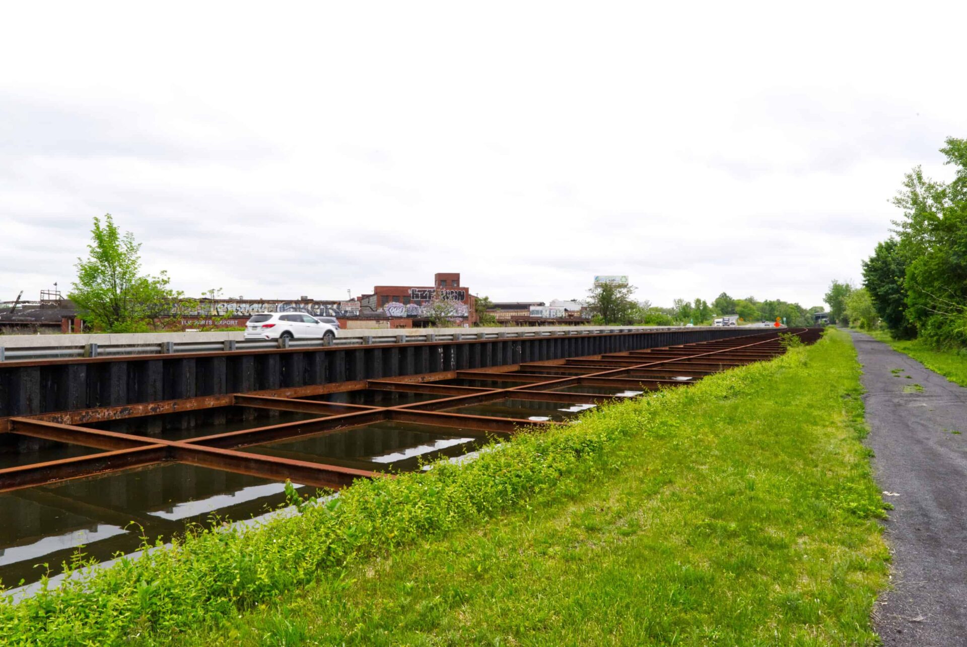
Delaware and Raritan Canal Trail
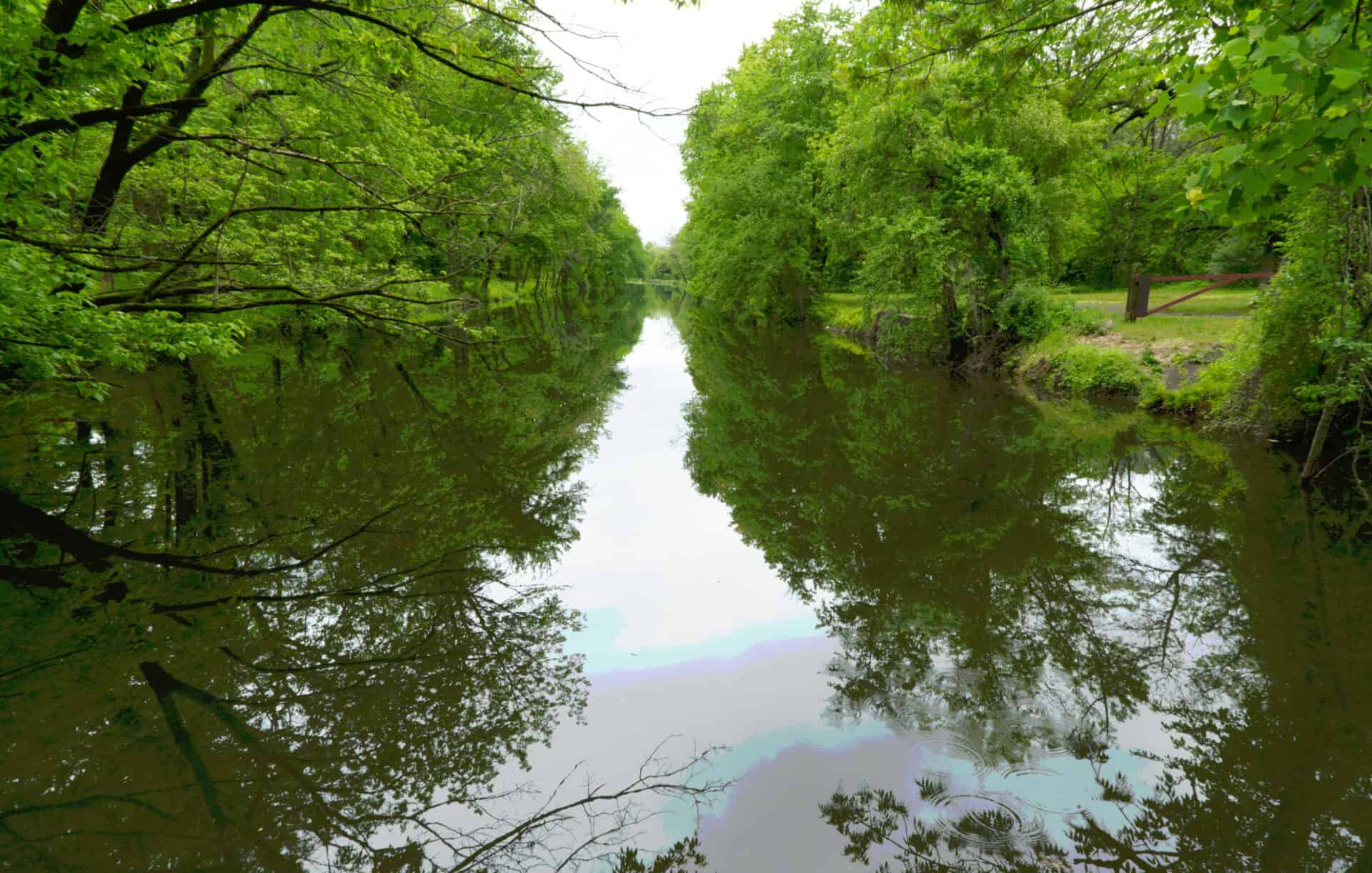
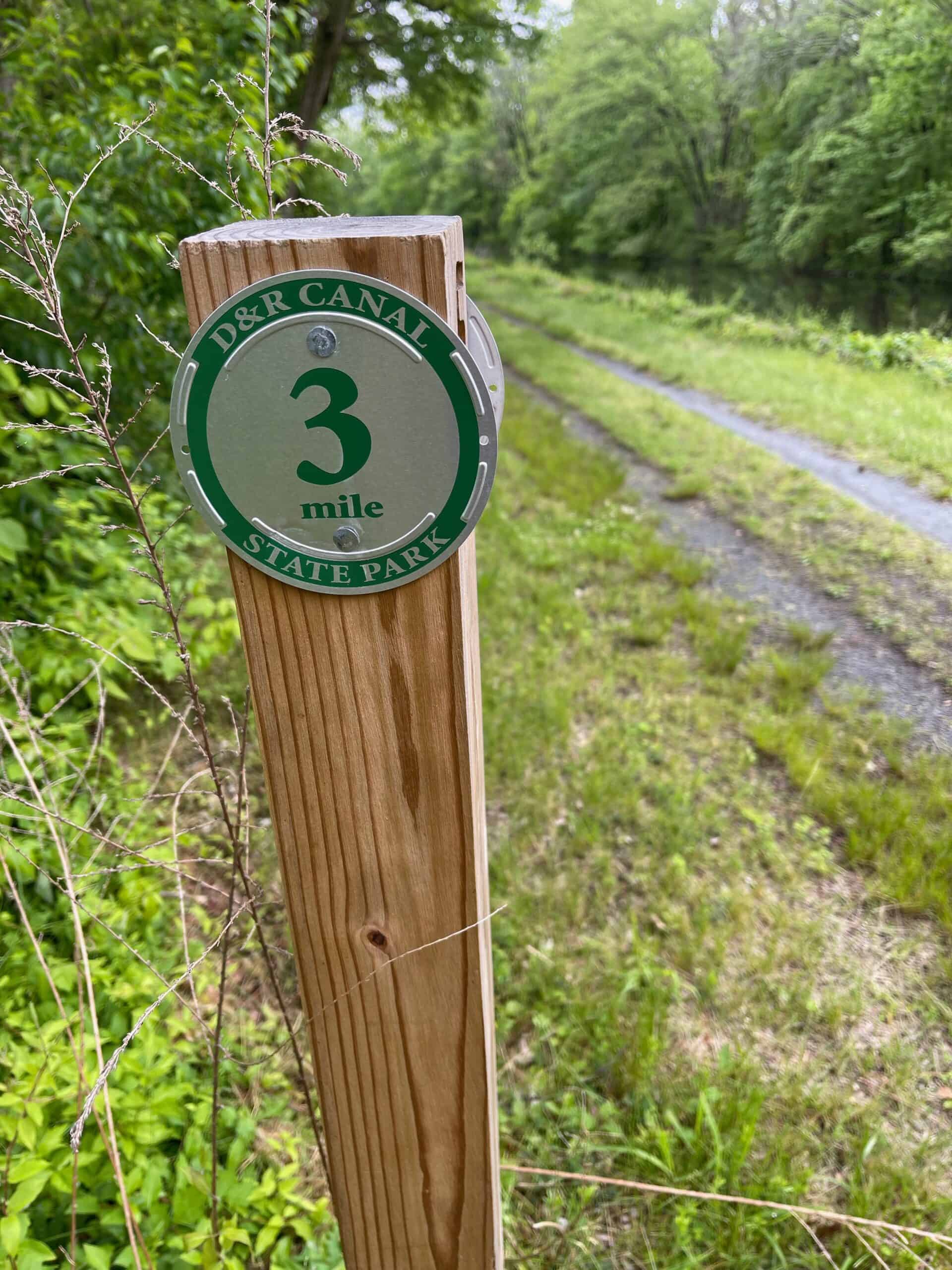

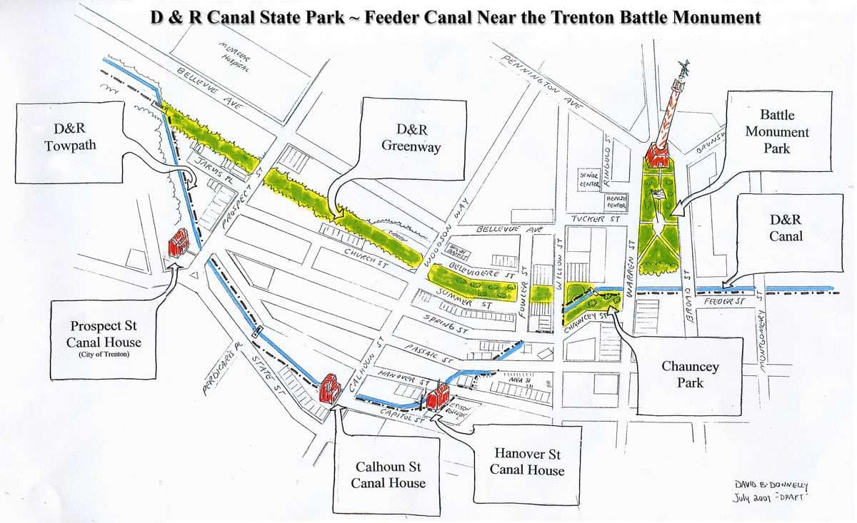
The 73 mile long Delaware and Raritan Canal Trail is one of the best biking resources in New Jersey. The V-shaped trail is easy to find from Route 1 along the eastern side of the V which emanates from from Trenton. There are free parking areas beginning near Scudder’s Mill Road in Plainsboro, continuing all the way down to Trenton, about 10 miles away. Most of the trail is a well maintained gravel towpath, following the right of way of the commercially successful D & R Canal, built in the 1830s. There are many historic remnants like tender houses, locks and bridges along the trail from the 19th Century. https://www.traillink.com/trail/delaware-and-raritan-canal-state-park-trail/
Lincoln Memorial
2 Lincoln Memorial Cir NW, Washington, DC 20002, USA


Lincoln Memorial – Where the East-West Great American Rail Trail meets the North-South East Coast Greenway
Peter Evans Feb 25, 2021 Salisbury MA

Feb 25, 2021

SHARE