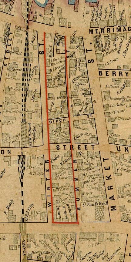
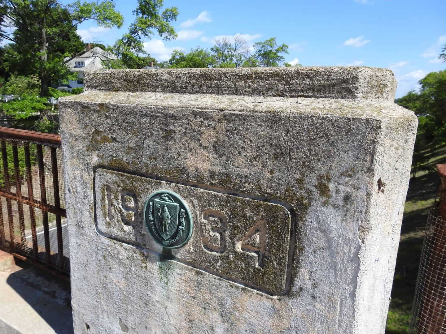
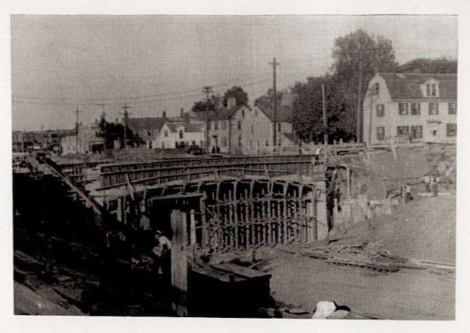
A four block long swath of urban Newburyport was removed to make way for a straightening and widening of Route 1, thereinafter called the Newburyport Turnpike. This was an extremely modern road for Massachusetts in 1934. The road bed ran below street level, allowing through traffic to proceed unimpeded by city traffic.
It was a mile-long piece of limited access highway that would come to dominate US highway design in the 20th Century. The 1851 map shows the right-of-way for the highway in red.
Prior to the completion of the highway, US 1 was routed off of Bridge Road onto Merrimack Street and State Street, right through the middle of town.
On May 19, 1934 a devastating fire hit downtown Newburyport, with about 100 structures affected along the Merrimac River.


 Continue with Google