US Route 1 enters Virginia from North Carolina near South Hill and exits at the Potomac River into Washington D.C. — roughly 175 miles of two-lane and divided highway that threads through some of the most historically dense terrain in America. This is the fall line corridor: the seam where the piedmont drops to the coastal plain, where rivers become navigable, where colonial settlers built their first towns, where the Civil War’s bloodiest campaigns played out. Richmond, Petersburg, Fredericksburg, Alexandria — every major Route 1 city in Virginia carries the weight of American history in concentrated form. The interstate runs parallel and faster. Route 1 runs slower and tells you more.
The Route 1 Corridor Through Virginia
Northern Virginia Segment
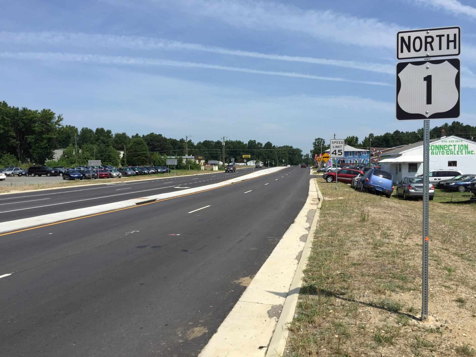
Starting at the Potomac River, Route 1 enters Virginia across the 14th Street Bridge, immediately running through the dense urbanism of Crystal City and Pentagon City. The highway passes the National Museum of the Marine Corps before reaching Triangle, where it crosses into the town of Dumfries — one of Virginia’s oldest chartered towns, incorporated in 1759. Through Woodbridge, 18th-century ordinaries have given way to strip malls, but historic markers surface at intervals, reminding you that George Washington drove this road before there was a Virginia Turnpike. Route 1 passes the entrance to Quantico, where the Marine Corps base and the FBI Academy sit behind guarded gates.
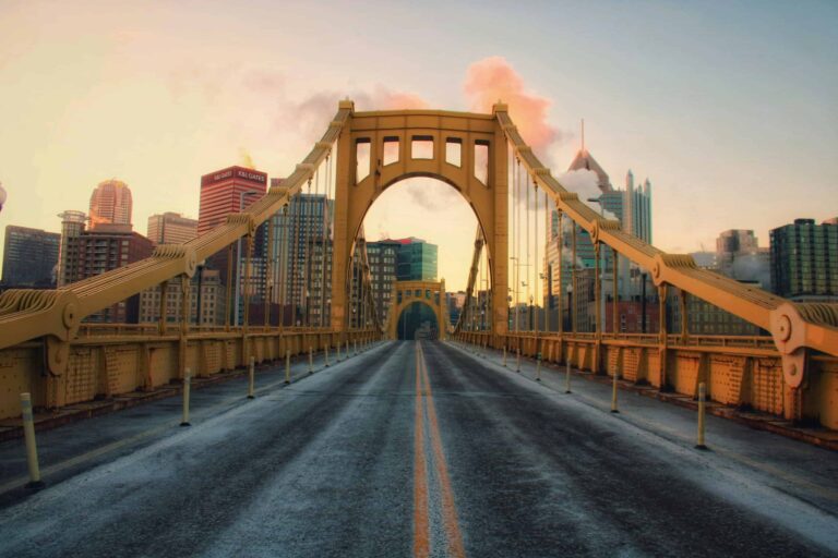
Historic Route 1 – Thornburg, Virginia
Fredericksburg: Four Battles, One City
Fredericksburg sits at the fall line on the Rappahannock River, 50 miles south of Washington. Four major Civil War battles were fought in and around this city between 1862 and 1864 — Fredericksburg, Chancellorsville, the Wilderness, Spotsylvania Court House — making this stretch of Route 1 corridor the most intensely fought ground in North America. The Fredericksburg and Spotsylvania National Military Park covers more than 8,000 acres across four separate battlefield units, all accessible from Route 1. The downtown historic district is compact enough to walk: colonial-era buildings, the Rising Sun Tavern (1760), the Hugh Mercer Apothecary Shop.
Route 1 is known locally as Jefferson Davis Highway through this stretch — a designation the Virginia General Assembly assigned in 1922 at the request of the United Daughters of the Confederacy. The General Assembly redesignated it “Historic Route 1” in 2008. Both names are still on signs depending on where you look.
Richmond Corridor
Approaching Richmond from the south, Route 1 becomes Jefferson Davis Highway and passes through the Chesterfield County corridor — a drive lined with historical markers covering the Defense Supply Center, Drewry’s Bluff, Dutch Gap Canal, Falling Creek Ironworks Park, Battery Dantzler and Fort Stevens. Richmond was the Confederate capital from 1861 to 1865. The American Civil War Museum sits on the old Tredegar Iron Works site on the James River, where Confederate artillery was manufactured. The Virginia State Capitol, designed by Thomas Jefferson in 1788, still houses the General Assembly — the oldest continuous legislature in the Western Hemisphere, established at Jamestown in 1619.
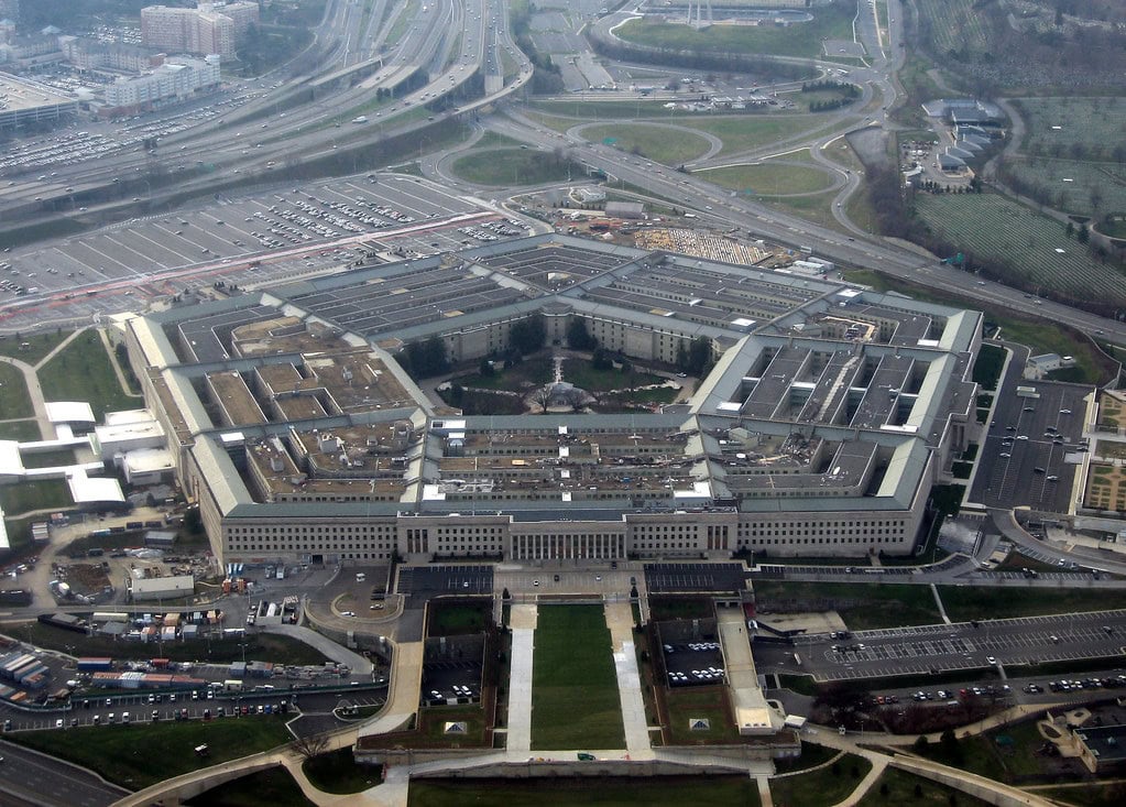
The Pentagon
Petersburg and Southside
South of Richmond, Route 1 passes through Petersburg — once one of the ten largest cities in antebellum America, now a city of around 32,000 still working through the economic fallout of industrial decline. The Petersburg National Battlefield preserves the 9.5-month Union siege of 1864-1865, the longest siege in American military history. The Crater, where Union troops detonated 8,000 pounds of gunpowder under Confederate lines in July 1864, is still visible — a depression 170 feet long, 60 feet wide, 30 feet deep. Route 1 passes directly through Petersburg’s downtown on a one-way pair, antebellum mansions beside empty storefronts, the old tobacco economy visible in the bones of the buildings.
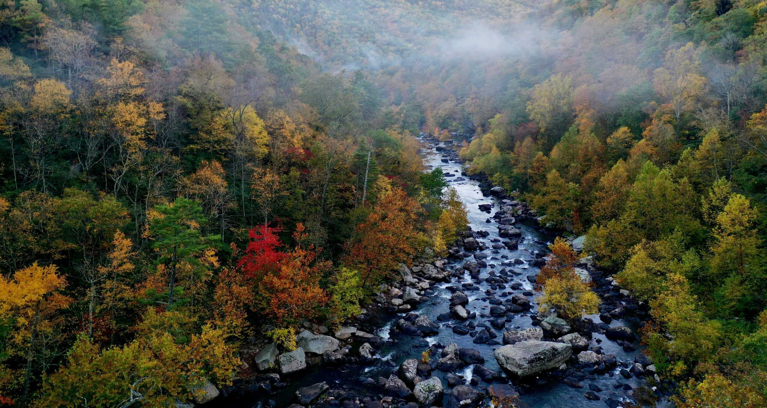
South of Petersburg, Route 1 enters rural Southside Virginia — tobacco country, bypassed by the interstate, running through small towns that were once auction house markets. The country stores still operate. The tobacco warehouses mostly don’t.
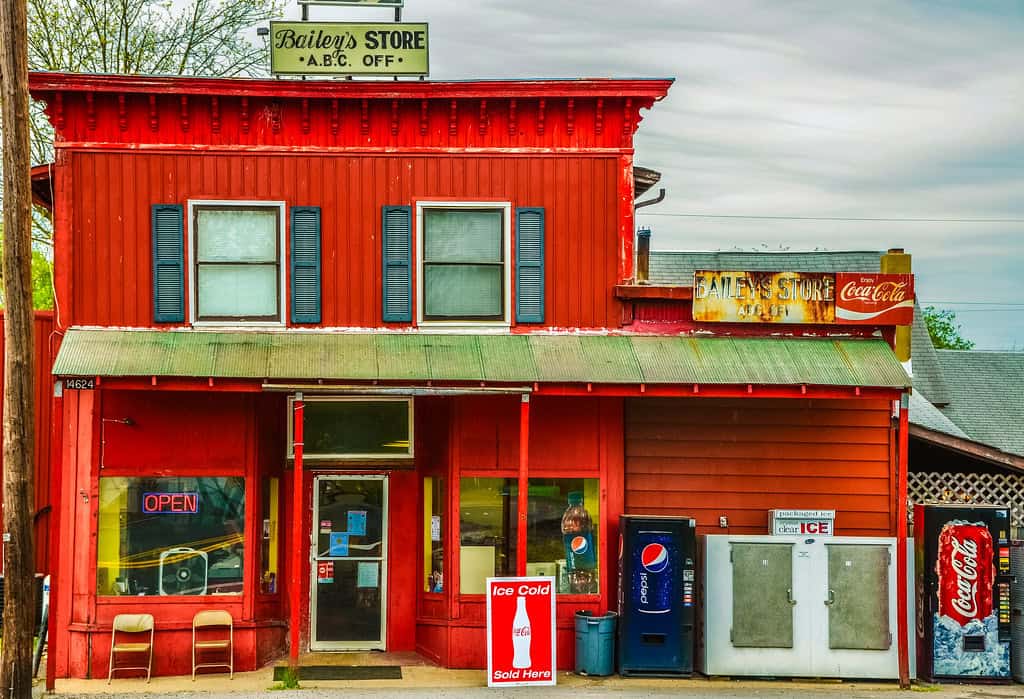
Historic country store along Route 1 in rural Virginia
Virginia’s Civil War Geography Along Route 1
More Civil War battles were fought in Virginia than in any other state. The Route 1 corridor runs through the middle of it. From Fredericksburg south through Richmond to Petersburg, the road passes ground where Union and Confederate armies maneuvered for four years across a 100-mile front. The key sites along or just off Route 1:
- Fredericksburg Battlefield — December 1862, Confederate victory. 12,600 Union casualties in a single day. Marye’s Heights is a 15-minute walk from Route 1.
- Chancellorsville — May 1863, Lee’s “perfect battle.” Stonewall Jackson was shot by his own troops in the woods west of Route 1.
- The Wilderness — May 1864, Grant’s first battle against Lee. Fighting in dense scrub forest, artillery largely useless. The forest caught fire.
- Spotsylvania Court House — May 1864, the Bloody Angle, where hand-to-hand combat lasted 20 hours in the rain.
- Petersburg National Battlefield — June 1864 to April 1865. The 9.5-month siege that ended the war in Virginia.
The Fredericksburg and Spotsylvania National Military Park visitor center sits right off Route 1. The Petersburg National Battlefield has entrances accessible from the highway. You can drive the Route 1 corridor and cover the full arc of the Eastern Theater’s final two years in a single day, which is one reason this stretch of highway matters.
Historical Timeline: Virginia’s Founding Role
1607: Jamestown
On May 14, 1607, settlers from the Virginia Company landed on Jamestown Island, 60 miles from the mouth of the Chesapeake Bay, to establish England’s first permanent American colony — 13 years before Plymouth. The early years were brutal. The winter of 1609-1610, known as the Starving Time, killed roughly 440 of the 500 colonists. The settlement survived on tobacco. John Rolfe obtained Spanish seed stock from the Orinoco Valley around 1612 and planted it in the James River bottomland, producing a leaf the English market would actually buy. Virginia’s economy ran on tobacco for the next 250 years.
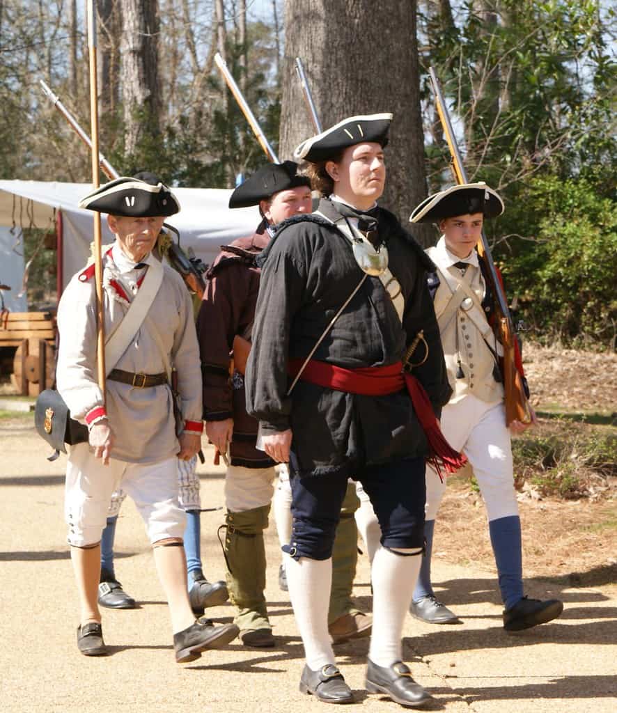
Historical reenactment at Jamestown Settlement
The first representative assembly in English North America met in the Jamestown church on July 30, 1619. The first documented Africans in Virginia also arrived in 1619 — captured from the kingdom of Ndongo in Angola, brought by Portuguese slavers. The enslaved labor force that would sustain the tobacco economy for two and a half centuries began here, the same year as the first legislature.
Founding Fathers, Virginia Edition
By the mid-18th century, Virginia was the largest and most populous American colony. Its planter class produced a disproportionate share of the Revolution’s leadership: George Washington (Westmoreland County), Thomas Jefferson (Albemarle County), James Madison (Orange County), George Mason (Fairfax County), Patrick Henry (Hanover County). Eight of the first twelve U.S. presidents were Virginians. The state’s motto — “Sic Semper Tyrannis,” thus always to tyrants — was adopted in 1776.
Civil War: Center Stage
Virginia voted against secession in February 1861, then reversed course after Fort Sumter in April. Richmond became the Confederate capital. More battles were fought on Virginia soil than in any other state. The war ended in Virginia: Lee surrendered to Grant at Appomattox Court House on April 9, 1865, 90 miles west of the Route 1 corridor. The war left Virginia’s cities in ruins, its economy shattered, its social structure overturned. Reconstruction was followed by the Jim Crow era enforced by the Byrd machine, which dominated state politics through the 1960s.
Virginia Food Worth Stopping For
Oysters
Oysters are the oldest documented food in the Commonwealth — the Jamestown settlers survived on them in 1607, pulled from the James River. Virginia now harvests from eight distinct regions of the Chesapeake Bay and coastal waters, each producing a different flavor profile based on salinity and water temperature. The Eastern Shore, the Rappahannock River, the Great Wicomico — each has its own following. Virginia calls itself the Oyster Capital of the East Coast, which is arguable, but the quality is not.
Smithfield Ham
Virginia law mandates that genuine Smithfield hams can only be produced within the city limits of Smithfield — a definition that predates most American food appellations by decades. The process: peanut-fed hogs, salt curing, spice rub, smokehouse aging for at least six months. The result is drier and saltier than a Kentucky country ham, assertive enough to eat in thin shavings on a biscuit. Smithfield is 75 miles southeast of the Route 1 corridor, but the ham shows up on menus throughout the state.
Virginia BBQ
Virginia’s BBQ style varies by region in ways that reflect the state’s geographic and cultural complexity. In the Tidewater, a vinegar and tomato-mustard blend. Central Virginia runs Worcestershire-based. The Shenandoah Valley uses vinegar and herbs. Northern Virginia goes sweet tomato. None of these is definitive — Virginia has no single BBQ identity the way the Carolinas or Texas do, which is either a weakness or an opportunity depending on where you’re eating.
Chesapeake Blue Crabs
Blue crab season runs May through November. The Chesapeake Bay produces more blue crabs than any other body of water in North America, and the Virginia side of the Bay — the Eastern Shore, Tangier Island, the Hampton Roads waterfront — has waterside restaurants where you eat steamed crabs at paper-covered tables and throw the shells in a bucket. Soft-shell crab season runs through summer, when crabs have just shed and the entire shell is edible. Order them fried, with nothing complicated.
Arts, Architecture, and Cultural Anchors
Thomas Jefferson’s Architecture
Thomas Jefferson designed three structures worth going out of your way to see: Monticello (his home, Charlottesville), the Virginia State Capitol (Richmond, 1788, modeled on the Maison Carrée in Nîmes), and the University of Virginia (Charlottesville, 1817-1826). The UVA Rotunda and Academical Village are UNESCO World Heritage sites. Jefferson’s Palladian influence on American public architecture was direct and lasting — he essentially invented the template for federal and state government buildings for the next century.
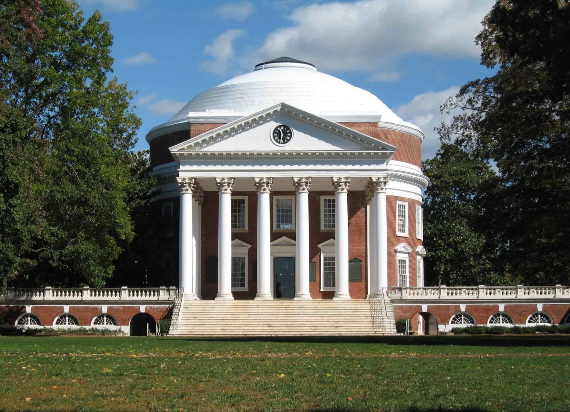
The Rotunda at University of Virginia, showing Jefferson’s neoclassical architecture
Museums Along the Corridor
The Virginia Museum of Fine Arts in Richmond holds one of the strongest collections in the South, with particular depth in Art Nouveau, Art Deco, and the Fabergé imperial Easter eggs — one of the largest Fabergé collections outside Russia. The American Civil War Museum at Tredegar covers the war from Confederate, Union, and African American perspectives in the same building. The Chrysler Museum in Norfolk houses one of the country’s major glass collections, with 10,000 glass objects from antiquity to contemporary studio glass.
Appalachian Music Heritage
Southwest Virginia, off the Route 1 corridor but worth the drive, is where American country music originated. The 1927 Bristol Sessions recordings — conducted in a warehouse in Bristol, Virginia — produced the first commercial recordings of the Carter Family and Jimmie Rodgers. The Birthplace of Country Music Museum in Bristol documents this. The Crooked Road, a 330-mile heritage music trail through Southwest Virginia, connects the Carter Family Fold, the Floyd Country Store (Friday Night Jamborees, every Friday for decades), and the Ralph Stanley Museum. This is where the music came from.
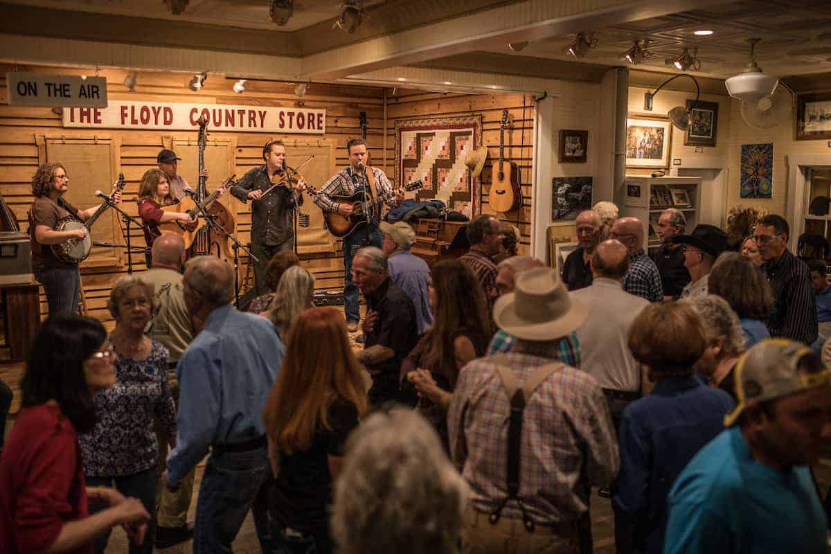
Musicians playing fiddle and banjo at Floyd Country Store Friday Night Jamboree
Stops Worth Making Along Route 1
Old Town Alexandria
Route 1 terminates at its northern end in Alexandria, where it meets the Potomac and the approach to Washington. Old Town Alexandria is a colonial port city that George Washington surveyed in 1749 at age 17. Gadsby’s Tavern, at 134 North Royal Street, hosted Washington for his birthday celebrations from 1798 through 1799 — the year of his death. The Torpedo Factory Art Center, a repurposed WWII munitions plant on the waterfront, houses 82 working artist studios. The King Street Metro station puts you 15 minutes from Capitol Hill, which is why Old Town’s real estate values are what they are.
Grayson Highlands State Park
Far off the Route 1 corridor in Southwest Virginia, Grayson Highlands is the park most Virginians don’t know exists. Wild ponies — a herd managed since the 1970s — roam the high meadows above 5,000 feet elevation, grazing alongside hikers on the Appalachian Trail. The landscape reads like the Scottish highlands dropped into the Blue Ridge. The park sits adjacent to Mount Rogers, Virginia’s highest point at 5,729 feet. Drive here in late April for the rhododendron bloom, or October for the color.
Assateague Island National Seashore
The Eastern Shore of Virginia sits east of the Bay, accessible via the Chesapeake Bay Bridge-Tunnel from Norfolk or the old Route 13 corridor. Assateague Island straddles the Virginia-Maryland border — 37 miles of undeveloped barrier island, wild ponies on the beach, back-country camping, no development. The Virginia end is managed by the National Park Service and the Fish and Wildlife Service. The Maryland end has a state park with campsites. The ponies on the Virginia side are auctioned annually by the Chincoteague Volunteer Fire Company — the Pony Swim, held every July since 1925.
Shenandoah National Park and Skyline Drive
Shenandoah National Park runs 105 miles along the Blue Ridge, west of the Route 1 corridor. Skyline Drive, which runs the length of the park at the ridge crest, has no stoplights and a 35 mph speed limit — the entire point is the drive. The park was established in 1935 and required the forced removal of approximately 400 families from the mountain communities inside its boundaries. The 101 overlooks face east toward the Piedmont or west toward the Shenandoah Valley. Fall color runs from early October at the highest elevations through early November in the valley.
Virginia Wine Country
Virginia now has nearly 300 wineries, concentrated in three regions: the Monticello AVA around Charlottesville, the Northern Neck along the Potomac, and the Blue Ridge foothills. Thomas Jefferson spent 30 years trying to grow European vinifera grapes at Monticello and failed every time — wrong rootstock, wrong disease resistance. Modern Virginia winemakers cracked it in the 1970s with better viticultural knowledge. Virginia Viognier has attracted the most attention, but Cabernet Franc and Petit Verdot also do well. The state produces about 350,000 cases annually.
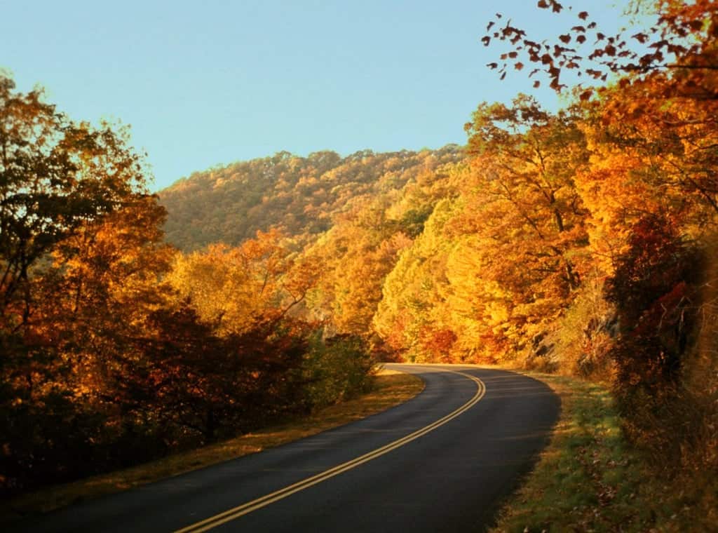
Blue Ridge Parkway winding through mountains in autumn
Virginia’s Economy: From Tobacco to Tech
Tobacco dominated Virginia’s economy for 300 years and then didn’t. Computer chips became the state’s highest-grossing export in 2006, surpassing coal and tobacco combined. Virginia has the highest concentration of technology workers of any state, according to the American Electronics Association — driven by the federal defense and intelligence infrastructure in Northern Virginia. Loudoun and Fairfax counties held the top two median household incomes of all U.S. counties as of 2017. Amazon HQ2 landed in Arlington in 2019.
The state’s GDP was $712.9 billion as of 2023, ranking 13th among states — larger than Belgium or Sweden. That figure sits alongside coal counties in Southwest Virginia where median incomes are under $40,000 and the nearest four-year college is hours away. Virginia contains extremes.
Amazon HQ2 building, Arlington
Cities and Towns Along the Route 1 Corridor
The Route 1 corridor runs through five cities that each read differently from the road. If you want a structured day-by-day plan, see our 3-day Virginia Route 1 road trip itinerary.
- Alexandria — Northern terminus. Colonial grid, Federal rowhouses, Potomac waterfront. The King Street corridor is the most intact 18th-century streetscape in Northern Virginia.
- Fredericksburg — The halfway point. Four Civil War battlefields in the immediate area. Downtown has colonial buildings, an active restaurant scene, and the country’s oldest surviving apothecary shop (Hugh Mercer, 1771).
- Ashland — Randolph-Macon College town, active rail line through downtown. Trains run at grade through the main street. The track is three feet from the sidewalk.
- Richmond — State capital, former Confederate capital. The James River rapids run through the city. The Fan District has the largest intact Victorian residential neighborhood in the country.
- Petersburg — The siege city. Civil War battlefield, antebellum architecture, active revitalization of its historic Blandford Church and Pocahontas Island neighborhoods.
Beyond the major cities, Route 1 passes through towns that preserve what Virginia’s small-town character looked like before the interstate changed everything. Quantico, Dumfries, Woodbridge, Doswell, Ruther Glen — none of them are destinations, but all of them are on the road, and the road is the point.
Share your virgina route 1 memory
Do you have a story you would like to share? We want to hear it!
Create a View to tell a unique story about a specific place
Want to see what others wrote about Virginia?
Our Travel map has over 1400 posts from users like you
We have 2 types of content at Route1views:
- View: A unique experience at a single location
- Trip: A collection of experiences at different places, connected through a ‘road trip’
- Most first-time posters choose to make a View
A note about Route 1 Views
We are a user-driven social media site for celebrating and sharing stories along historic Route 1 USA. Using our platform is FREE forever and we don’t play any tricks. We don’t share your data or spam you with emails. We are all about sharing!

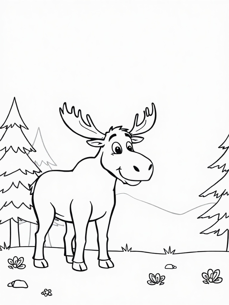
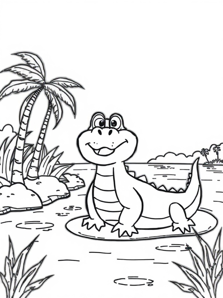
The Route 1 Road Trip Coloring Book
36 pages · 13 states · a color-as-you-drive map. Free — print it at home.
36 pages · no email required · print at home
Want a peek inside first? See everything →It's yours — enjoy! 🖍️
No email, no strings. By the way — want the occasional Route 1 story and first dibs on the next freebie? Totally optional.
You're in — thanks! 🖍️
 Continue with Google