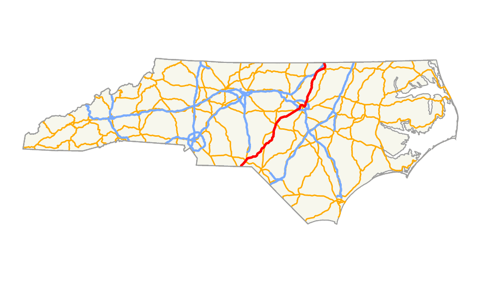
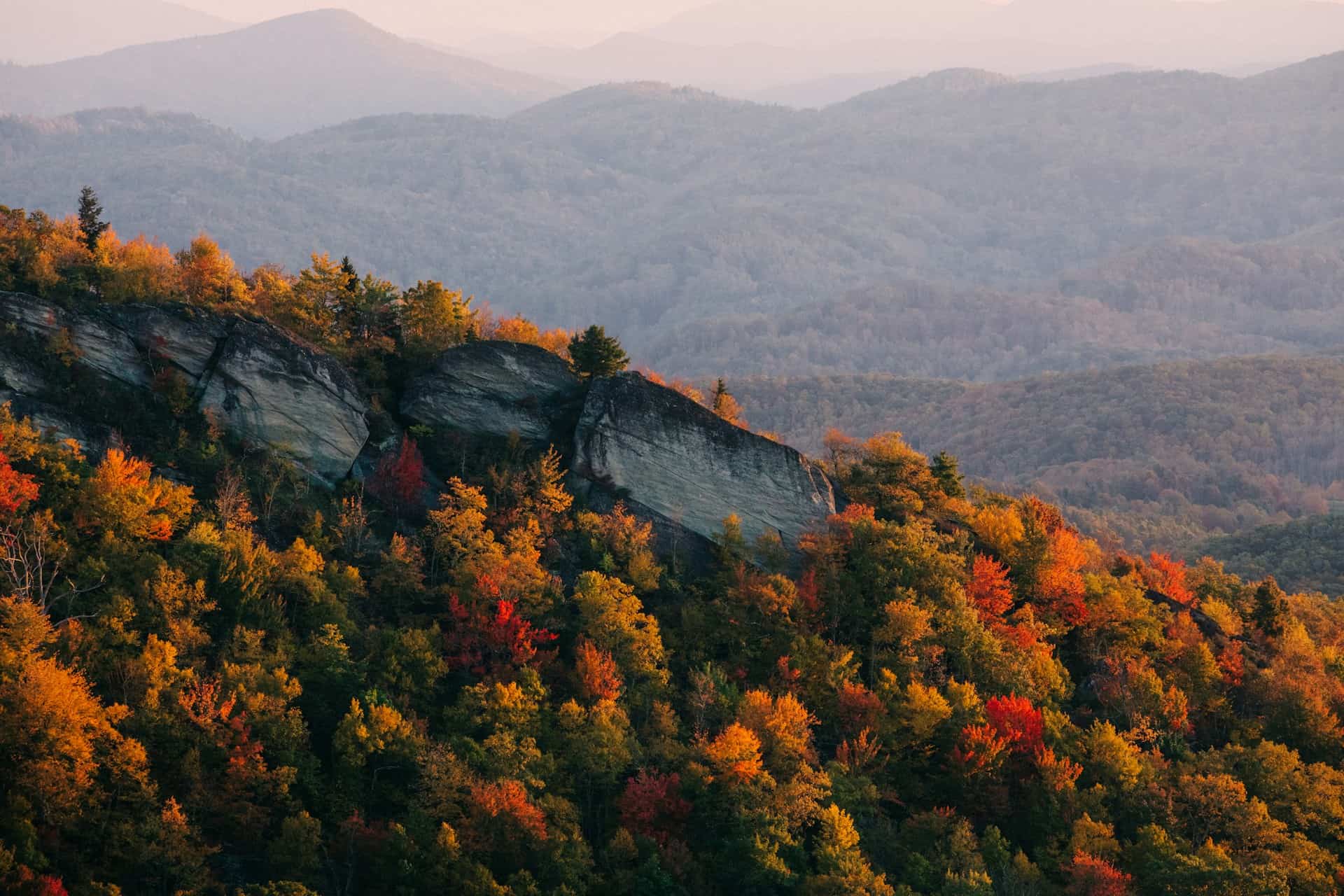
US Route 1 cuts through North Carolina for 174 miles, from the South Carolina line near Rockingham to the Virginia border outside Henderson. It misses the mountains. It misses the Outer Banks. What it runs through is the Piedmont interior: longleaf pine country, the Research Triangle, tobacco barns, the state capital, and the slow-rolling farmland between the college towns and the border. This is a different North Carolina than the postcard version, and it’s more interesting for it.
Route 1 Through North Carolina
The Corridor
Route 1 enters North Carolina from South Carolina just southwest of Rockingham, then heads northeast through the Sandhills. It passes through or close to Southern Pines and Sanford before cutting up through Cary and into Raleigh, where it becomes Capital Boulevard, a strip of chain restaurants and auto shops that locals know better than love. From Raleigh it continues north through Wake Forest and Youngsville, then into Henderson before crossing into Virginia near the town of Wise.
The highway follows a path established long before the interstate system existed. In 1909, this route was part of the Capital Highway, an auto trail connecting Washington DC to Atlanta. The Quebec-Miami International Highway, organized in 1911 and renamed the Atlantic Highway in 1915, overlapped much of the same corridor. Route 1 took its current designation in 1926, inheriting all those earlier ambitions for a continuous east coast road.
Rockingham: Southern Entry
The first town Route 1 hits inside North Carolina is Rockingham, a small city in Richmond County that peaked when the textile mills were running. Those mills are largely empty now. Rockingham Speedway, which hosted NASCAR Cup races from 1965 to 2004, is still there, operating as a driving experience venue rather than a racing venue. It’s a telling detail: this part of the state built itself around industries that have since contracted or moved on, and the built environment reflects that history honestly.
The Sandhills: Southern Pines to Sanford
Northeast of Rockingham, the Sandhills region presents a sharply different face. Southern Pines and Pinehurst are golf country: resorts, horse farms, manicured fairways catering to a well-heeled clientele drawn by mild winters and managed landscapes. Just east of Route 1, Fort Liberty (renamed from Fort Bragg in 2023) anchors the regional economy with a military presence dating to World War I. The base is the largest Army installation in the world by population.
Sanford, in Lee County, is where brick manufacturing once dominated and pottery traditions still run deep. The town is the northern gateway to Seagrove, the center of North Carolina’s pottery country. Within 20 miles of Seagrove, over 100 working studios continue traditions brought by English settlers in the 1700s, firing clay from the same red Piedmont soil that frustrated farmers for centuries.
The Capital Corridor: Cary and Raleigh
As Route 1 approaches Raleigh from the south, the landscape shifts from pine forest to suburb. Cary, once a railroad village and now one of the fastest-growing cities in the country, sits right on the corridor. The Research Triangle’s expansion absorbed it completely, and what you see along Route 1 here is the standard issue of that growth: subdivisions, tech campuses, shopping centers.
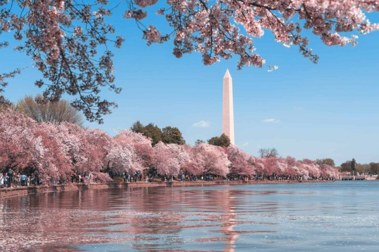
Raleigh itself is where Route 1 becomes Capital Boulevard, a commercial strip that runs north-south through the city. This is not the version of Raleigh you see in travel magazines. It’s the working arterial: auto dealers, strip malls, ethnic restaurants tucked into shopping centers, the kind of infrastructure that keeps a capital city functional. The North Carolina State Capitol, a Greek Revival building completed in 1840, sits a few miles east of Capital Boulevard on Morgan Street. The North Carolina Museum of Natural Sciences on Jones Street is one of the better natural history museums in the Southeast.

The Research Triangle Park, the 7,000-acre innovation center between UNC-Chapel Hill, NC State, and Duke, sits just off the Route 1 corridor. It was created in 1959 when the state was ranked 47th in per capita income and needed something to replace tobacco, textiles, and furniture as economic anchors. It worked. The Triangle now hosts over 300 companies and employs more than 65,000 people. That transformation is the central fact of modern North Carolina’s Piedmont.
North of Raleigh: Wake Forest to Henderson
North of the capital, Route 1 passes through Wake Forest and Youngsville, towns that were sleepy rural communities 20 years ago and are now Research Triangle bedroom communities with historic downtowns under development pressure. Wake Forest has a good walkable downtown despite the sprawl surrounding it.
Louisburg, in Franklin County, is quieter: a county seat anchored by Louisburg College, a two-year liberal arts school with Gothic Revival buildings on a handsome campus. The town’s historic district preserves Federal and Greek Revival architecture from the early 19th century.
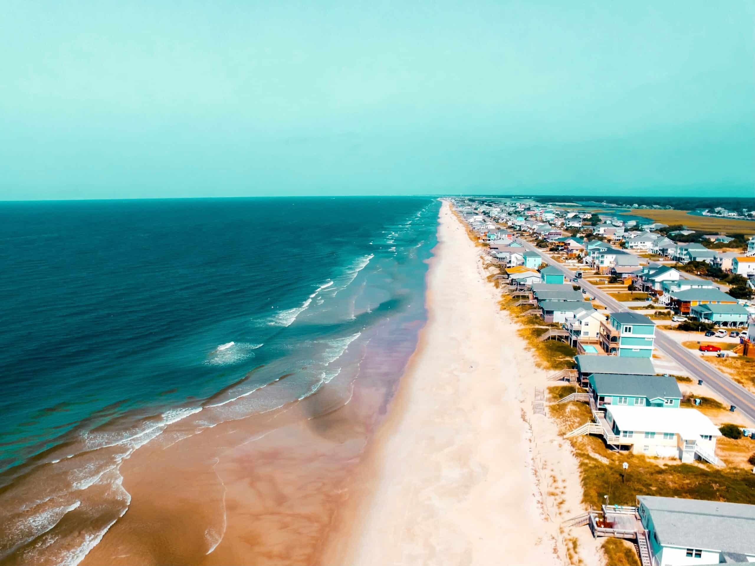
Henderson is the last significant town before Virginia, functioning as a regional center for Vance County: groceries, services, the county courthouse. Kerr Lake State Recreation Area sits just outside town, a 50,000-acre reservoir straddling the NC-Virginia border that offers fishing, boating, and one of the most underrated stretches of public waterfront in the Piedmont. Near the Virginia line, Route 1 passes Lake Gaston, another large reservoir that has generated decades of water rights disputes between the two states.
Historical Context Along the Route
Pre-Colonial and Colonial Period
Before European settlement, the Tuscarora, Catawba, and Cherokee occupied the corridor that Route 1 now follows. European contact in the 16th century brought disease and displacement. The Tuscarora War of 1711 was a direct response to that displacement: the Tuscarora attacked colonial settlements in an attempt to reverse the trend. By 1713, hundreds of Tuscarora had been killed or enslaved; most of the survivors migrated north to join the Iroquois Confederation.
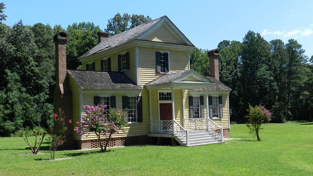
Halifax, just east of the Route 1 corridor on US 158, is where North Carolina made its most consequential early political statement. On April 12, 1776, the Halifax Resolves were adopted, the first official action by any colony endorsing independence from Britain, three months before the Declaration of Independence. The “First in Freedom” slogan on North Carolina license plates refers to this document.
Historic Halifax colonial buildings
Civil War
North Carolina’s relationship with secession was complicated. A February 1861 popular vote on secession was won by Unionists, barely. Once committed to the Confederacy, the state sent 133,905 men to fight, roughly one-sixth of the Confederate fighting force, despite having only one-ninth of the white population. The war’s end came symbolically in North Carolina: General Sherman accepted General Johnston’s surrender at Bennett Place in Durham in April 1865, the largest troop surrender of the Civil War.
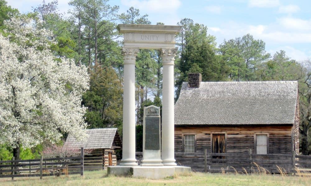
Bennett Place historic site where Civil War surrender occurred
Food: The Barbecue Question
The Great Divide
North Carolina barbecue is a doctrinal matter. Two styles have developed over centuries, and the argument about which is correct has outlasted most other Southern debates. Eastern-style is whole hog, slow-cooked over hardwood coals, finished with a thin vinegar-and-pepper sauce. That’s it. No tomato. No sweetness. Lexington-style (also called Piedmont or Western style) uses pork shoulder only and adds a small amount of tomato to the vinegar base, producing what locals call a “dip.” The red slaw served alongside Lexington barbecue is made with that same dip instead of mayonnaise.
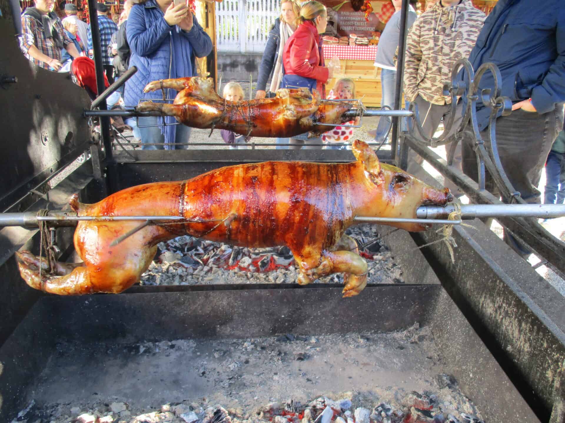
Whole hog barbecue pit.
The Route 1 corridor splits the difference geographically: the Sandhills stretch is Eastern country, while Raleigh and points north sit at the edge of Lexington territory. Travelers on the corridor will encounter both styles within a single day’s drive. The practical answer is to eat at whatever place has been operating longest in the town you’re passing through. In North Carolina, longevity is the best credential a barbecue joint can have.
Other Food Worth Knowing
Calabash-style seafood, lightly battered, fried, and served simply, is the coastal tradition that shows up in inland restaurants along the Route 1 corridor. Livermush, a pork liver and cornmeal combination that emerged from Depression-era necessity, remains a western Piedmont breakfast staple that confuses visitors and satisfies locals. North Carolina leads the nation in sweet potato production; the sweet potato is the official state vegetable and appears in farm-to-table menus across the state.
Music Along the Corridor
North Carolina’s musical contributions to American culture cluster around two figures who changed their respective instruments permanently. Earl Scruggs, from Flint Hill in Rutherford County, developed the three-finger banjo style that defines bluegrass. Doc Watson, from Deep Gap in Watauga County, invented the flatpicking guitar approach that generations of players have built on. Both were western North Carolinians, well west of the Route 1 corridor, but their influence runs through every festival and picker’s circle along the Piedmont.
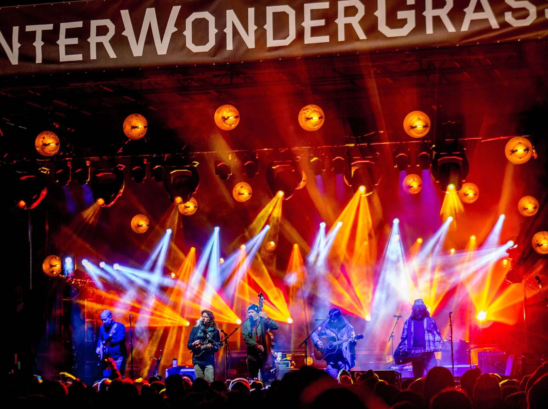
Bluegrass draws huge crowds in North Carolina
Thelonious Monk was born in Rocky Mount in 1917, on the eastern edge of North Carolina, before his family moved to New York. John Coltrane was born in Hamlet, in Richmond County, just a few miles from where Route 1 crosses the South Carolina line. Reverend Gary Davis and Blind Boy Fuller both came out of the Piedmont blues tradition. The Route 1 corridor, without advertising itself as such, passes through the birthplace geography of some of the 20th century’s most important musicians.
Off-Route Worth Knowing
The North Carolina Pottery Center in Seagrove sits 25 miles west of Sanford on US 220. This is where the Route 1 corridor’s pottery tradition is best explained: exhibits trace 300 years of craft from the same clay deposits, and working studios surround the center in every direction.
Saxapahaw, a former cotton mill town on the Haw River west of the corridor, has made an unlikely second life as a music and food destination. The Haw River Ballroom hosts nationally touring acts in a renovated mill. The general store serves serious food to kayakers and cyclists.
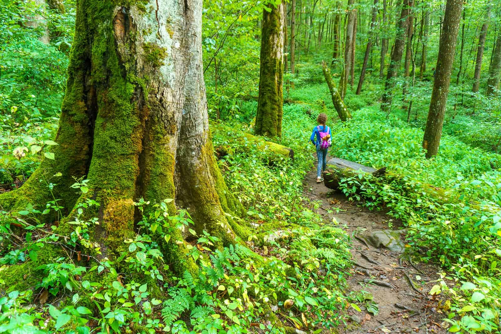
Giant old-growth trees in Joyce Kilmer Memorial Forest
Bennett Place in Durham, where the Civil War ended in April 1865, is 15 miles west of Capital Boulevard. The site is a state historic site with reconstructed buildings and a museum. Durham itself, which built its first fortune on tobacco and is now building its second on food and culture, is worth an overnight if the itinerary allows. The American Tobacco Campus on Blackwell Street occupies the former Lucky Strike manufacturing complex, which once employed 5,000 workers.


The Route 1 Road Trip Coloring Book
36 pages · 13 states · a color-as-you-drive map. Free — print it at home.
36 pages · no email required · print at home
Want a peek inside first? See everything →It's yours — enjoy! 🖍️
No email, no strings. By the way — want the occasional Route 1 story and first dibs on the next freebie? Totally optional.
You're in — thanks! 🖍️
 Continue with Google