
U.S. Route 1 runs 170 miles through South Carolina, and none of it is the South Carolina anyone comes here for. No Charleston, no Myrtle Beach, no Beaufort. Instead, the highway cuts a diagonal line from the Georgia border to the North Carolina line through the inland state most visitors drive past at 75 mph on I-95. That’s their loss. The Route 1 corridor connects some of the most consequential ground in American history: a Revolutionary War battlefield, the birthplace of bebop, equestrian estates built by Gilded Age millionaires, and a stretch of Two-Notch Road that was old when George Washington complained about it. Here’s what you actually find along the way.
The Route 1 Corridor
Route 1 enters South Carolina at North Augusta, crossing the Savannah River from Georgia. It heads northeast through Aiken, skirts the edge of Lexington, cuts through Columbia, then runs north through Camden before entering the Sandhills and crossing into North Carolina near Cheraw. The route parallels I-20 from the Georgia border to Camden, where the interstate turns sharply east toward Florence. From Camden north, Route 1 is the main road through the Sandhills.
For much of its South Carolina length, the highway follows what colonists called Two-Notch Road, a trading path through the pine barrens that was already old when it got that name. Washington traveled it in the 1790s and had nothing good to say about it. Urban sprawl has replaced the pine barrens in places, but the basic corridor hasn’t changed in 300 years.
North Augusta: Where Route 1 Crosses Into South Carolina
Route 1 enters South Carolina at the Savannah River, passing through North Augusta before the road straightens toward Aiken. North Augusta sits across the river from Augusta, Georgia. They’re functionally one metro area split by a state line. The town has invested heavily in its riverfront in recent years: Brick Pond Park, the North Augusta Greeneway Trail, and SRP Park (a minor league baseball stadium) all sit within a short walk of each other along the Savannah River. It’s a reasonable first stop, nothing more.
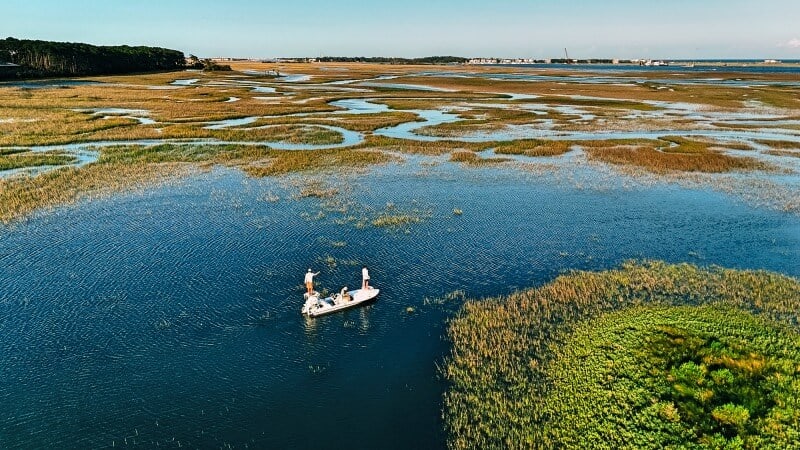
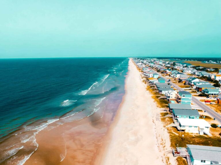
South Carolina marshlands, Kiawah Island.
Aiken: Thoroughbreds and the Winter Colony
Northeast of North Augusta, Route 1 runs through Aiken, and Aiken is not what you expect from a South Carolina highway town. Starting in the 1880s, wealthy Northerners discovered that Aiken’s mild winters made it ideal for horses. They built estates, brought their thoroughbreds, and created what became known as the Winter Colony. The colony never really left. Aiken today has more working equestrian facilities than most cities three times its size. Polo is played here on weekends from fall through spring. The Aiken Steeplechase runs every spring at Hitchcock Woods, a 2,100-acre urban forest that’s the largest privately owned urban forest in the United States.
Hopelands Gardens, a 14-acre formal garden donated to the city by a Winter Colony family in 1969, is free and open year-round. The Aiken Thoroughbred Racing Hall of Fame sits on its grounds. The Savannah River Site, a nuclear weapons production complex covering 310 square miles of South Carolina and Georgia, begins just south of Aiken. You’ll see the Department of Energy security fencing from Route 1. It processed plutonium and tritium for decades and is now the country’s largest environmental cleanup project.

BMW manufacturing plant in Spartanburg
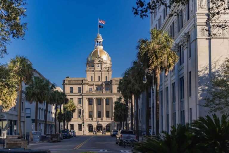
Columbia: Route 1 Through the Capital
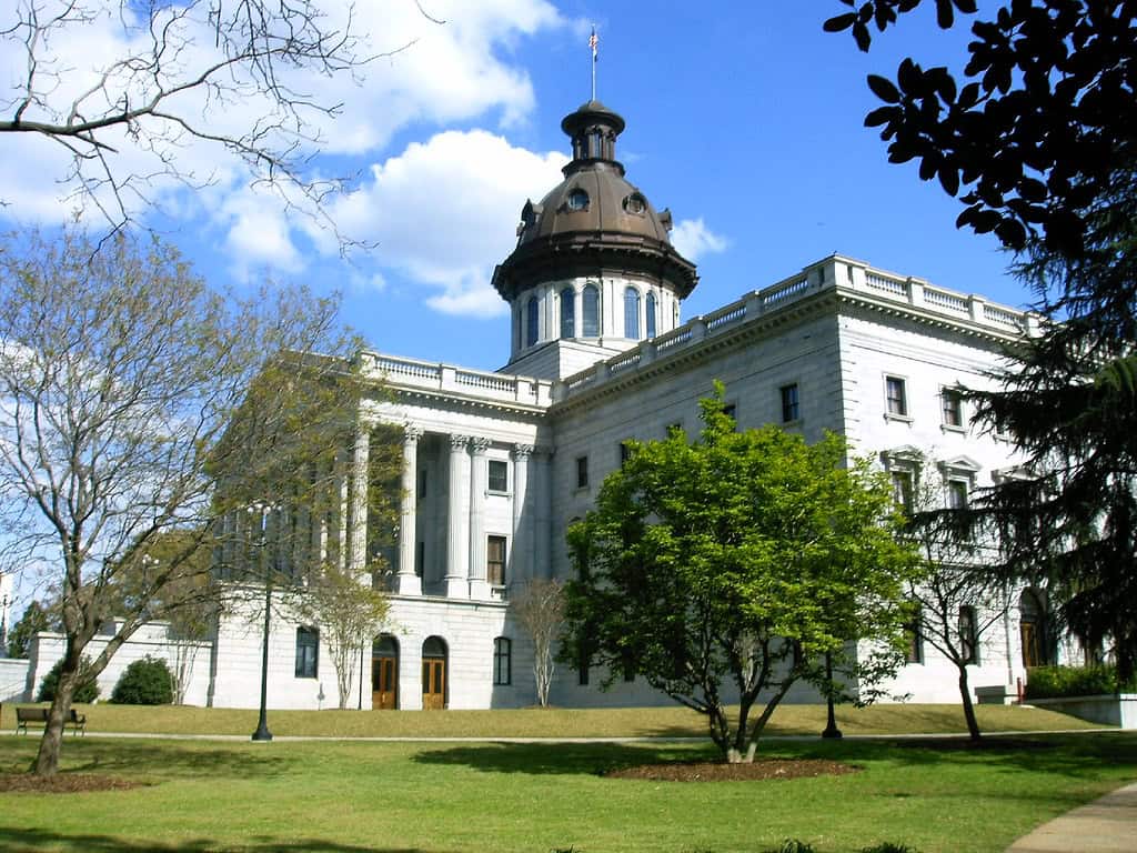
Route 1 passes through Lexington County suburbs before crossing the Congaree River into Columbia. The state capital sits at the geographic center of South Carolina, which was the point: the city was purpose-built in 1786 to give everyone in the state roughly equal access to their government. Sherman’s army torched most of it in February 1865. The State House still bears six bronze stars on its exterior walls marking where Union artillery shells hit the building. Nobody removed them. They’re considered historical markers.
The University of South Carolina’s flagship campus occupies the Horseshoe, a historic core of antebellum buildings in the middle of the city. The South Carolina State Museum takes up a former textile mill on the Congaree River. The Columbia Museum of Art has an underrated collection. The Riverbanks Zoo, which straddles the river, consistently ranks among the best zoos in the Southeast. Route 1 through Columbia runs as Two Notch Road in places. The colonial name survived into the street signs.
Camden: The Revolutionary War on Route 1
North of Columbia, Route 1 reaches Camden, the oldest inland town in South Carolina, chartered in 1791, though settled decades earlier. The Battle of Camden in August 1780 was one of the worst American defeats of the Revolutionary War. British forces under Cornwallis destroyed the Continental Army under Gates in a battle that lasted less than an hour and left over 900 Americans dead, wounded, or captured. The battle ground lies just north of town at Historic Camden Revolutionary War Site, which runs walking tours and maintains reconstructed fortifications on the original site.
Camden also has a serious horse culture. The Carolina Cup steeplechase has been run here since 1930, and Springdale Race Course hosts the Colonial Cup in November. The downtown historic district has kept most of its pre-Civil War commercial architecture. The Camden Archives and Museum holds the county historical records going back to the 1700s.
Fort Sumter National Monument
The Sandhills: McBee and the Wildlife Refuge
North of Camden, Route 1 enters the Sandhills, a band of ancient sea floor that cuts across the middle of South Carolina, characterized by longleaf pine, scrub oak, and white sand soil. The Carolina Sandhills National Wildlife Refuge covers 46,000 acres near McBee and is one of the best remaining habitats for the red-cockaded woodpecker, a federally threatened species that requires old-growth longleaf pine. The refuge has about 175 active red-cockaded woodpecker clusters. There’s a 9-mile wildlife drive through the refuge that puts you in the middle of this landscape for free.
The longleaf pine ecosystem that once covered 90 million acres of the Southeast is now down to about 3 million acres. The Sandhills refuge is one of the pieces being actively managed for recovery. It doesn’t look like much from Route 1, but the woods here are doing something important.
Cheraw: Dizzy Gillespie and Route 1’s Northern Exit
Route 1 ends its South Carolina run in Cheraw, a town of about 5,500 at the North Carolina line. Cheraw is the birthplace of John Birks “Dizzy” Gillespie, born here in 1917. Gillespie didn’t stay. He left for the North at 18 and went on to essentially co-invent bebop jazz with Charlie Parker in the 1940s. The town has a mural, a statue, and a bronze star on the sidewalk marking his birthplace at 155 Huger Street. Cheraw State Park, established in 1934, is one of the oldest state parks in South Carolina. The lake there is a reliable bass fishery and the park has some of the better camping in the Sandhills.
The Cheraw historic district has been recognized as one of the best-preserved antebellum town centers in South Carolina. The Lyceum Museum covers the town’s history from its 1768 founding. From Cheraw, Route 1 crosses into North Carolina headed toward Rockingham, following the same Sandhills terrain for another 30 miles before the landscape changes.
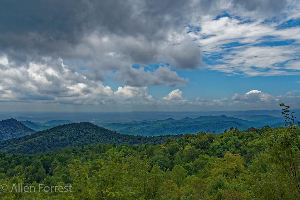
Sassafras Mountain vista overlooking Blue Ridge foothills
Food Along Route 1 South Carolina
Shrimp and Grits
Shrimp and grits started as a Lowcountry breakfast dish: shrimpers eating before heading out on the water, stirring the morning’s catch into a pot of grits. The 1985 Craig Claiborne piece in the New York Times turned it into a national restaurant phenomenon. The best versions on the Route 1 corridor are not in restaurant kitchens. They’re in the diners and meat-and-three places between Columbia and Camden, where the grits are stone-ground and the shrimp came from the coast two days ago.
Barbecue: Four Sauces in One State
South Carolina is the only state with four distinct regional barbecue sauce traditions: mustard-based in the Midlands (the Route 1 corridor runs right through this zone), vinegar-pepper in the Pee Dee, light tomato in the Upstate, and heavy tomato in the western portions. The mustard sauce dates to German settlers in the Columbia area. It tastes nothing like any other American barbecue sauce and it’s the right call for whole hog, which is what the Midlands pits mostly cook.
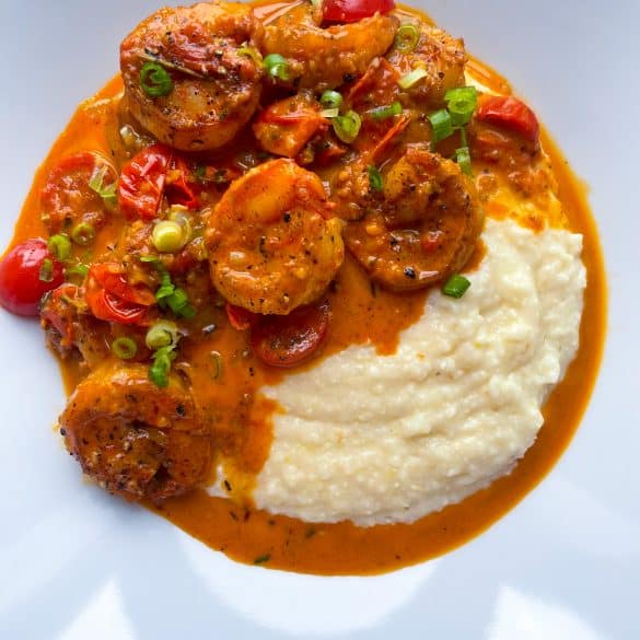
Traditional Lowcountry shrimp and grits
Cultural Context Along the Corridor
The Gullah-Geechee Heritage
The Gullah-Geechee people descend from enslaved West Africans brought to the Sea Islands and coastal areas of South Carolina and Georgia. The language is a creole with roughly 25% of its vocabulary from Sierra Leone, with influences from Mende and Vai. It survived because the Sea Islands’ geographic isolation allowed communities to maintain their culture after emancipation. Gullah-Geechee is the only English-based creole still spoken in North America. The Route 1 corridor runs inland, but the cultural influence extends throughout the Lowcountry and up through Columbia. Rice dishes like hoppin’ john and red rice on menus along the route trace directly to Gullah food traditions.
South Carolina’s Music
Two South Carolina musicians defined American music in ways that can’t be overstated. James Brown was born in Barnwell in 1933, about 40 miles south of the Route 1 corridor. Dizzy Gillespie was born in Cheraw in 1917, right on Route 1. Between them: the Godfather of Soul and the man who co-invented bebop. The state also has a beach music tradition centered on the Myrtle Beach area, a genre distinct from beach blanket surf rock, built on rhythm and blues rhythms that influenced the shag, South Carolina’s official state dance.
What to Know Before You Drive Route 1 South Carolina
Route 1 through South Carolina is not a scenic highway. It’s a working road through a working state: commercial strips, county seats, farmland, and pine forest, with the occasional industrial facility. The scenery is in the details: the historic courthouses in Camden and Cheraw, the equestrian fencing outside Aiken, the longleaf pines in the Sandhills. If you’re driving south to north, you’ll spend a day on this road and see real South Carolina instead of the tourism-brochure version.
- Total SC Route 1 length: approximately 170 miles from North Augusta to Cheraw
- Driving time without stops: about 3 hours
- Best season: fall (September through November) for mild temperatures; spring for equestrian events in Aiken and Camden
- I-20 is faster between the Georgia border and Camden; Route 1 is worth taking for the stops
- The Sandhills stretch from Camden to Cheraw has almost no services. Fuel up in Camden before heading north.


The Route 1 Road Trip Coloring Book
36 pages · 13 states · a color-as-you-drive map. Free — print it at home.
36 pages · no email required · print at home
Want a peek inside first? See everything →It's yours — enjoy! 🖍️
No email, no strings. By the way — want the occasional Route 1 story and first dibs on the next freebie? Totally optional.
You're in — thanks! 🖍️
 Continue with Google